Aghacommon
| Aghacommon | |
| Irish: Achadh Camán | |
 St Patrick's Catholic church in Aghacommon |
|
 |
|
| Irish grid reference | J035601 |
|---|---|
| – Belfast | 20 mi (32 km) |
| District | Craigavon |
| County | County Armagh |
| Country | Northern Ireland |
| Sovereign state | United Kingdom |
| Post town | CRAIGAVON |
| Postcode district | BT66 |
| EU Parliament | Northern Ireland |
| UK Parliament | Upper Bann |
| NI Assembly | Upper Bann |
|
|
Coordinates: 54°28′05″N 6°22′59″W / 54.468°N 6.383°W
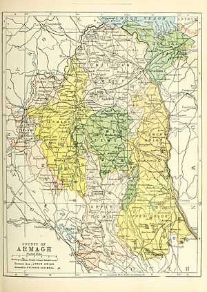
Aghacommon (from Irish: Achadh Camán)[1] is a small village and townland in north County Armagh, Northern Ireland. It lies between Derrymacash (to the northwest), Lurgan (to the east) and Craigavon (to the south). The M1 motorway and Dublin–Belfast railway line are on either side. The village covers the townlands of Aghacommon and Ballynamony.
Aghacommon has a Catholic church and primary school, both named St Patrick's. At the southern edge of the village is Craigavon lakes and Tannaghmore Animal Farm. The animal farm, which is open to the public, inholds rare and endangered farm animals that were once widespread in Ulster. There is also a farming museum on the site.[2]
Census 2011 Details
Aghacommon lies within the Derrytrasna electoral ward and Derrytrasna 1 'super output area'. On Census Day, 2011, the resident population of Derrytrasna was 2896. Of this population:[3]
93% Of The Population Was From a Roman Catholic Background
2% Of The Population Was From a Protestant Background
61% Of The Population Was Aged 18 – 75
35% Of The Population Was Aged 0 – 18
4% Of The Population Was Aged 75+
42% Of The Population Were Female
58% Of The Population Were Male
28% Of The Population Were Unemployed
References
| Wikimedia Commons has media related to Aghacommon. |
| ||||||||||||||||||||||||||||||