Acıgöl-Nevşehir
| Acıgöl‑Nevşehir | |
|---|---|
 Acıgöl‑Nevşehir | |
| Elevation | 1,689 m (5,541 ft)[1] |
| Location | |
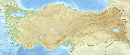
| Coordinates | 38°32′28″N 34°37′13″E / 38.54111°N 34.62028°ECoordinates: 38°32′28″N 34°37′13″E / 38.54111°N 34.62028°E[2] |
| Geology | |
| Last eruption | 2080 BC ± 200 years[1] |
Acıgöl-Nevşehir is a volcano in Turkey with an elevation of 1,689 metres (5,541 ft).
It is a caldera volcano about 7 by 8 km wide and is traversed by the national highway from Acıgöl to Nevşehir.
See also
References
- ↑ 1.0 1.1 "Acigöl-Nevsehir". Global Volcanism Program. Smithsonian Institution. Retrieved 2010-03-19.
- ↑ "Googlemaps". Retrieved 2010-07-13.