A Illa de Arousa
| Illa de Arousa | ||
|---|---|---|
| Municipality | ||
| A Illa de Arousa | ||
| ||
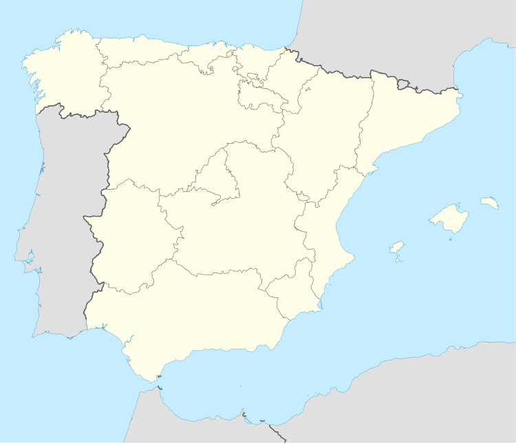 Illa de Arousa Location in Spain | ||
| Coordinates: 42°33′16″N 8°51′50″W / 42.55444°N 8.86389°WCoordinates: 42°33′16″N 8°51′50″W / 42.55444°N 8.86389°W | ||
| Country |
| |
| Autonomous community | Galicia | |
| Province | Pontevedra | |
| Comarca | Salnés | |
| Government | ||
| • Alcalde | José Manuel Vázquez Vázquez (Socialist Party of Galicia) | |
| Area | ||
| • Total | 7 km2 (3 sq mi) | |
| Elevation | 9 m (30 ft) | |
| Population (2008) | ||
| • Total | 4,928 | |
| • Density | 700/km2 (1,800/sq mi) | |
| Demonym | Arousán, á | |
| Time zone | CET (UTC+1) | |
| • Summer (DST) | CEST (UTC+2) | |
| Postal code | 36626 | |
| Website | http://www.ailladearousa.es/ | |

A Illa de Arousa is the only island municipality in Galicia, Spain in the province of Pontevedra. It is located in the heart of the Ria de Arousa. According to 2011 INE the island's population was 5,020 inhabitants. The population is divided into several neighborhoods, and places of interest are the lighthouse's environment, the island of Areoso (close to the Isla de Arosa) and Carreirón Natural Park, which is listed as a special protection zone for heron birds populations among other birds that inhabit the island. The Holy viewpoint is the highest point on the island. An Illa de Arousa's Saint Julian is the only parish in this island. Some of its beaches are the following: A Area gives Secada, A Lavanqueira, O Vao, Camaxe, Carreirón, Espiñeiro and O Cabodeiro.
A Illa de Arousa has five ports. Xufre is the most important and the other important docks include O Campo, Chazo and Cabodeiro.
References
External links
- Concello de A Illa de Arousa Townhall of Arousa Island
- Arousa
- A Illa de Arousa - Paraíso Natural en Galicia
| Wikimedia Commons has media related to A Illa de Arousa. |