İdil
| İdil | |
|---|---|
 İdil | |
| Coordinates: 37°20′30″N 41°53′30″E / 37.34167°N 41.89167°ECoordinates: 37°20′30″N 41°53′30″E / 37.34167°N 41.89167°E | |
| Country |
|
| Province | Şırnak |
| Government | |
| • Mayor | Mehmet Muhdi Aslan (BDP) |
| • Kaymakam | Adem Kaya |
| Area[1] | |
| • District | 1,266.10 km2 (488.84 sq mi) |
| Population (2012)[2] | |
| • Urban | 24,595 |
| • District | 71,147 |
| • District density | 56/km2 (150/sq mi) |
| Post code | 733xx |
| Website |
www |
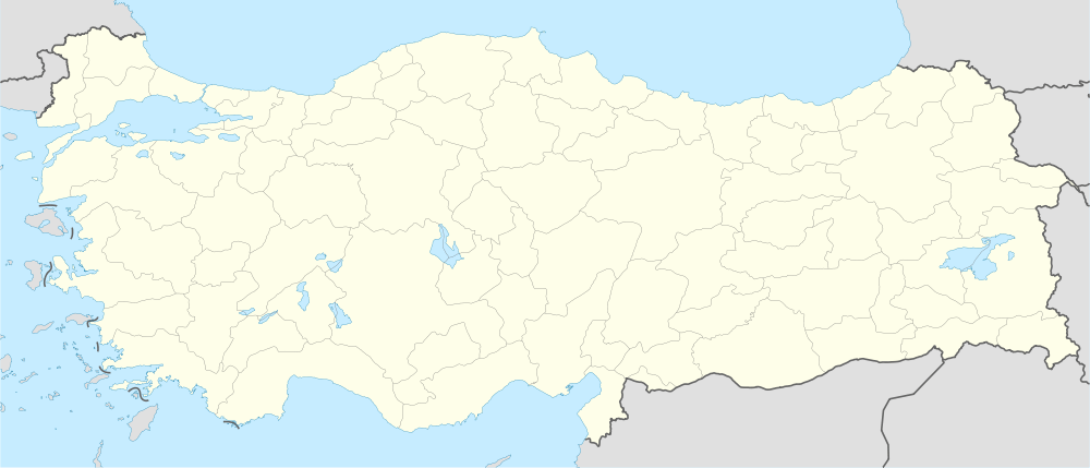
İdil (Syriac: ܒܝܬ ܙܒܕܐ Beṯ Zabday or ܐܙܟ Āzaḵ, Kurdish: Hezex) is a district of Şırnak Province of Turkey. The predominant religion in the region is Islam, although it was once the home of many Arameans belonging to the Syriac Orthodox Church and who were speakers of the Syriac language, an Aramaic dialect. Idil, part of Tur Abdin, was one of the villages that fell victim to the Assyrian Genocide or Seyfo (literally "the sword" in Syriac) from 1915-1918 (the final years of the Ottoman Empire). After the genocide, many of Idil's (or Beth-Zabday's) surviving Assyrian population was involved in a diaspora; like many of the other Assyrians and Armenians; they too fled to parts of the Middle East, Cyprus, Germany, Sweden, Holland, Canada, and the United States. Kefshenne,Hedel,Esfes,Beth Ishoq,Miden,Beth sbirino, is one of its important villages.

References
- ↑ "Area of regions (including lakes), km²". Regional Statistics Database. Turkish Statistical Institute. 2002. Retrieved 2013-03-05.
- ↑ "Population of province/district centers and towns/villages by districts - 2012". Address Based Population Registration System (ABPRS) Database. Turkish Statistical Institute. Retrieved 2013-02-27.