İğneada
| İğneada | |
|---|---|
| Town | |
 Location of İğneada within Turkey. | |
| Country |
|
| Region | Marmara |
| Province | Kırklareli Province |
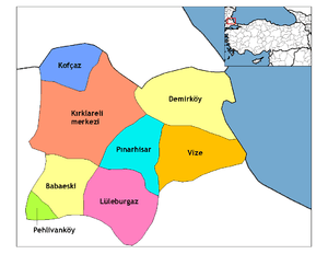
| District | Demirköy |
| Government | |
| • Mayor | Tahir Işık (CHP) |
| Population (2010)[1] | |
| • Total | 1,966 |
| Time zone | EET (UTC+2) |
| • Summer (DST) | EEST (UTC+3) |
| Postal code | 39650 |
| Area code(s) | 0 288 |
| Licence plate | 39 |
| Website |
www |
İğneada is a small town within the district of Demirköy in Turkey's Kırklareli Province. It lies on the Black Sea coast and is approximately 5 km (3 mi) south of the Mutludere river which forms the border with Bulgaria. Its population was 1,966 in 2010.[1]
The land is covered by mainly oak forests, typical flora of the Yıldız (Istranca) Mountains. Forestry, fishing and tourism are the main occupations of the town population.
The Lake Saka Nature Reserve Area is in the south of the town. It harbors one of the few remaining floodplain forests in all of Europe, which is home to many different bird species.
References
- ↑ 1.0 1.1 "İğneada Belediyesi" (in Turkish). Yerel Net. Retrieved 2011-12-18.
External links
- Kırklareli governor's official website (Turkish)
- İğneada municipality's official website (Turkish)
- İğneada website (Turkish)
Coordinates: 41°52′34″N 27°59′10″E / 41.87611°N 27.98611°E