Île-des-Chênes, Manitoba
| Île-des-Chênes | |
|---|---|
| Village | |
| Nickname(s): Island of Oaks | |
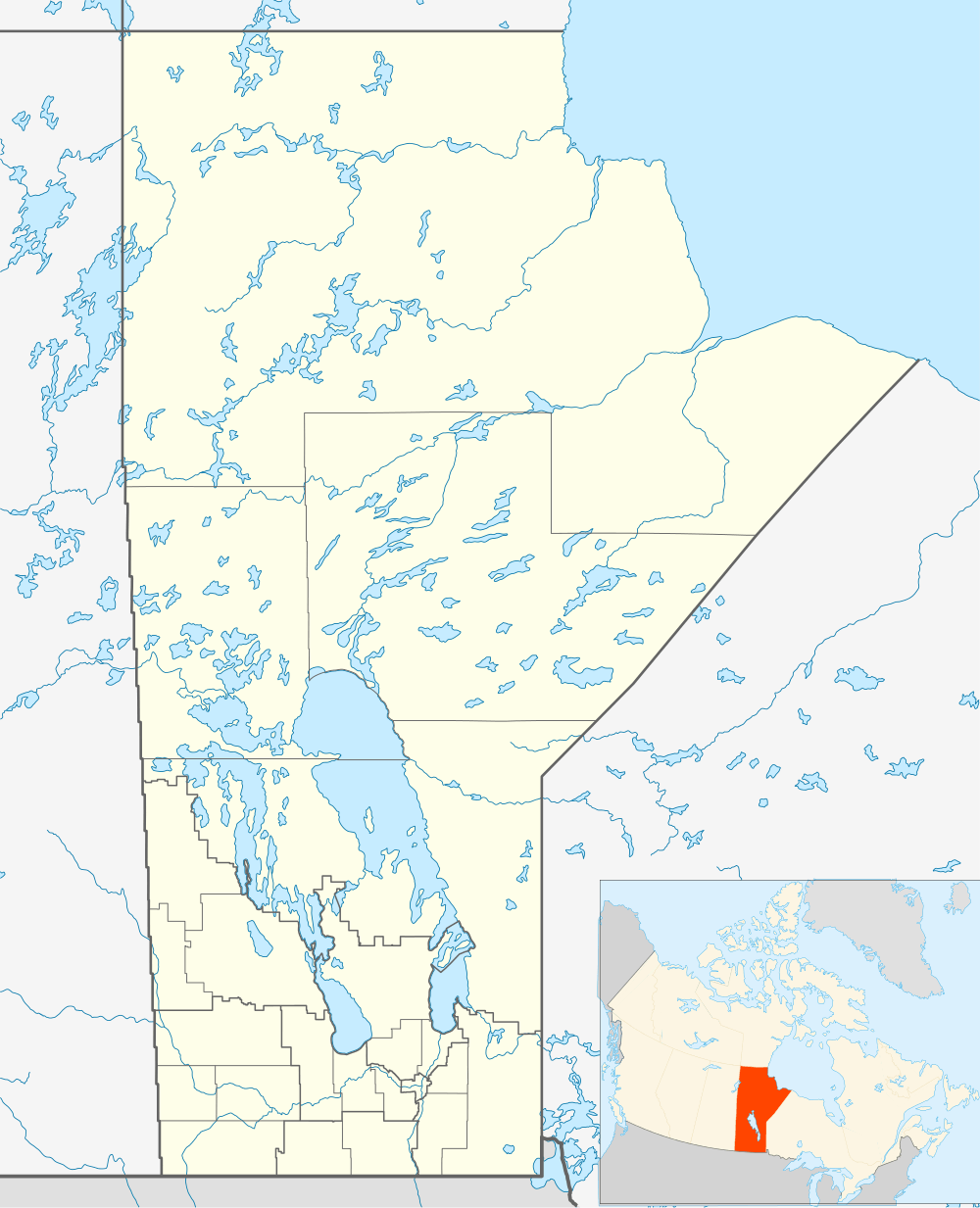 Île-des-Chênes Location of Île-des-Chênes in Manitoba. | |
| Coordinates: 49°42′38″N 96°59′18″W / 49.71056°N 96.98833°W | |
| Country | Canada |
| Province | Manitoba |
| Area | |
| • Total | 2.03 km2 (0.78 sq mi) |
| Population | |
| • Total | 1,253[1] |
| • Density | 618.3/km2 (1,601/sq mi) |
| postal code | R0A 0T0 |
Île-des-Chênes, Manitoba is an unincorporated community in Manitoba, Canada, within the Rural Municipality of Ritchot. The community is located just east of Highway 59, approximately 10 minutes southeast of the provincial capital Winnipeg.
References
- ↑ "Ile des Chenes population data". Stats Canada. Retrieved April 23, 2014.
See also
External links
Coordinates: 49°42′38″N 96°59′18″W / 49.71056°N 96.98833°W