Étraye
| Étraye | |
|---|---|
|
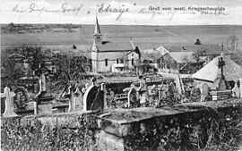
Old postcard | |
 Étraye | |
|
Location within Lorraine region  Étraye | |
| Coordinates: 49°20′02″N 5°22′19″E / 49.3339°N 5.3719°ECoordinates: 49°20′02″N 5°22′19″E / 49.3339°N 5.3719°E | |
| Country | France |
| Region | Lorraine |
| Department | Meuse |
| Arrondissement | Verdun |
| Canton | Damvillers |
| Intercommunality | Communauté de communes de la région de Damvillers |
| Government | |
| • Mayor (2008–2014) | Roger Brion |
| Area1 | 7.99 km2 (3.08 sq mi) |
| Population (1999)2 | 55 |
| • Density | 6.9/km2 (18/sq mi) |
| INSEE/Postal code | 55183 / 55150 |
| Elevation |
216–373 m (709–1,224 ft) (avg. 228 m or 748 ft) |
|
1 French Land Register data, which excludes lakes, ponds, glaciers > 1 km² (0.386 sq mi or 247 acres) and river estuaries. 2 Population without double counting: residents of multiple communes (e.g., students and military personnel) only counted once. | |
Étraye is a commune in the Meuse department in Lorraine in north-eastern France.
See also
| Wikimedia Commons has media related to Étraye. |