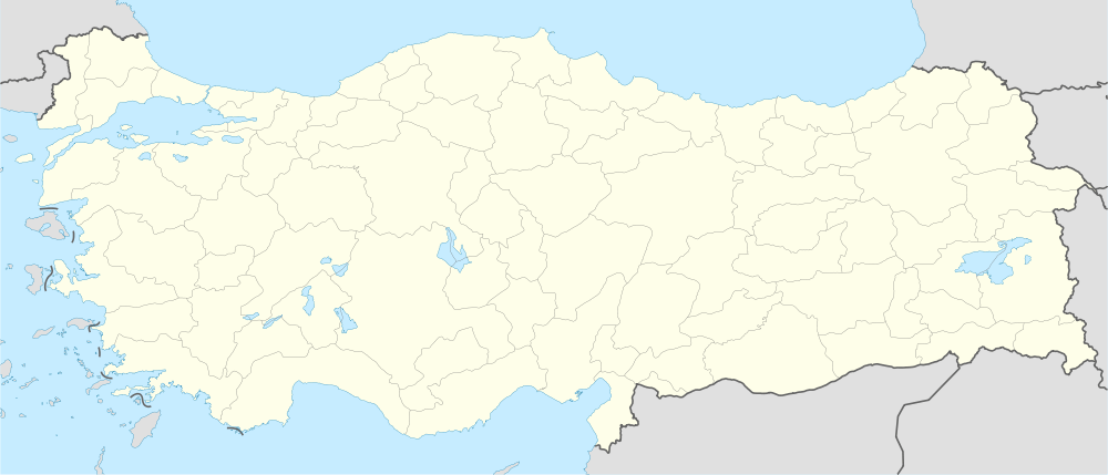
Çamlı, Erdemli
| Çamlı | |
|---|---|
| Village | |
 Çamlı Location in Turkey | |
| Coordinates: 36°45′N 34°12′E / 36.750°N 34.200°ECoordinates: 36°45′N 34°12′E / 36.750°N 34.200°E | |
| Country |
|
| Province | Mersin Province |
| District | Erdemli |
| Elevation | 930 m (3,050 ft) |
| Population (2012) | |
| • Total | 600 |
| Time zone | EET (UTC+2) |
| • Summer (DST) | EEST (UTC+3) |
| Postal code | 33730 |
| Area code(s) | 0324 |
| Licence plate | 33 |
Çamlı is a village in Erdemli district of Mersin Province, Turkey. It is situated to the east of Alata creek valley. Its distance to Erdemli is 25 kilometres (16 mi) and to Mersin is 60 kilometres (37 mi) . The population of Çamlı is 600 as of 2012.[1] There are traces of ancient civizilations around the village . But the village was founded in 1960 by merging two hamlets named Ohut and Firzin. Main economic activity is agriculture and various vegetables are produced .[2]
References
- ↑ "Turkstat". Turkish Statistical Institute. Retrieved 2015.
- ↑ Erdemli chamber of agriculture (Turkish)