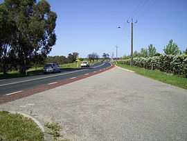
West Swan Road
From Wikipedia, the free encyclopedia
| West Swan Road Western Australia | |
|---|---|
 | |
| Looking south, in Belhus | |
| General information | |
| Type | Road |
| Length | 16 km (10 mi) |
| Gazetted | 30 March 1979 |
| Route number(s) |
|
| Major junctions | |
| South end |
|
| |
| North end |
|
| Location(s) | |
| Major suburbs | Caversham, West Swan, Henley Brook, Belhus |
West Swan Road is a road in the Swan Valley wine region in the northeastern suburbs of Perth, Western Australia. Starting in the centre of Guildford, it provides access to the wineries of the region and to The Vines golf resort.
It was gazetted in 1979[1] and was known as road numbers 4288 and 1116 in plans and maps.
See also
![]() Australian roads portal
Australian roads portal
References
- ↑ "Naming of Street - Shire of Swan (per 11581/11 V2)". Western Australia Government Gazette. 30 March 1979. p. 1979:877. The gazettal describes the route from Guildford and suburbs passed in detail.
| |||||||||||||||||||||||||
| KML file (edit) |
This article is issued from Wikipedia. The text is available under the Creative Commons Attribution/Share Alike; additional terms may apply for the media files.