Théza
From Wikipedia, the free encyclopedia
| Théza | |
|---|---|
 | |
 Théza | |
|
Location within Languedoc-Roussillon region  Théza | |
| Coordinates: 42°38′20″N 2°57′13″E / 42.6389°N 2.9536°ECoordinates: 42°38′20″N 2°57′13″E / 42.6389°N 2.9536°E | |
| Country | France |
| Region | Languedoc-Roussillon |
| Department | Pyrénées-Orientales |
| Arrondissement | Perpignan |
| Canton | Elne |
| Intercommunality | secteur d'Illibéris |
| Government | |
| • Mayor (2008–2014) | Jean Jacques Thibaut |
| Area | |
| • Land1 | 4.83 km2 (1.86 sq mi) |
| Population (1999) | |
| • Population2 | 1,252 |
| • Population2 Density | 260/km2 (670/sq mi) |
| INSEE/Postal code | 66208 / 66200 |
| Elevation |
13–27 m (43–89 ft) (avg. 10 m or 33 ft) |
|
1 French Land Register data, which excludes lakes, ponds, glaciers > 1 km² (0.386 sq mi or 247 acres) and river estuaries. 2 Population without double counting: residents of multiple communes (e.g., students and military personnel) only counted once. | |
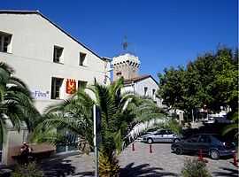
Théza (Catalan: Tesà) is a commune in the Pyrénées-Orientales department in southern France.
See also
References
This article is issued from Wikipedia. The text is available under the Creative Commons Attribution/Share Alike; additional terms may apply for the media files.