Shaty
From Wikipedia, the free encyclopedia
| Shaty | |
|---|---|
 Shaty | |
| Coordinates: 42°47′02″N 78°22′53″E / 42.78389°N 78.38139°ECoordinates: 42°47′02″N 78°22′53″E / 42.78389°N 78.38139°E | |
| Country | Kyrgyzstan |
| Province | Issyk Kul Province |
| Elevation | 1,657 m (5,436 ft) |
| Time zone | UTC +5 |
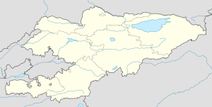
Shaty is a village in the Tup District of Issyk Kul Province of Kyrgyzstan.
This article is issued from Wikipedia. The text is available under the Creative Commons Attribution/Share Alike; additional terms may apply for the media files.