Saltzman Glacier

Saltzman Glacier (78°39′S 84°51′W / 78.650°S 84.850°WCoordinates: 78°39′S 84°51′W / 78.650°S 84.850°W) is a glacier that drains the north slopes of Mount Allen, the east slopes of Mount Strybing and Karnare Col, and the southeast slopes of Mount Craddock, and flows eastwards between Mount Osborne and Moyher Ridge into Thomas Glacier in southern Sentinel Range, Ellsworth Mountains in Antarctica.
Named by US-ACAN (2006) after Eric S. Saltzman, Department of Earth System Science, University of California, Irvine; USAP investigator of Antarctic ice core records of oceanic emissions; Chair, 2006, U.S. National Ice Core Working Group for use of Antarctic ice cores for research purposes.
Maps
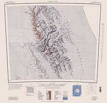
- Vinson Massif. Scale 1:250 000 topographic map. Reston, Virginia: US Geological Survey, 1988.
References
![]() This article incorporates public domain material from the United States Geological Survey document "Saltzman Glacier" (content from the Geographic Names Information System).
This article incorporates public domain material from the United States Geological Survey document "Saltzman Glacier" (content from the Geographic Names Information System).