Rotenboden
From Wikipedia, the free encyclopedia
For the railway station in Switzerland, see Rotenboden railway station.
| Rotenboden | |
|---|---|
| Village | |
 Rotenboden | |
| Coordinates: 47°07′45″N 9°32′20″E / 47.12917°N 9.53889°ECoordinates: 47°07′45″N 9°32′20″E / 47.12917°N 9.53889°E | |
| Country |
|
| Municipality |
|
| Elevation | 850 m (2,790 ft) |
| Time zone | CET (UTC+1) |
| • Summer (DST) | CEST (UTC+2) |
| Postal code | 9497 |
| Area code(s) | (+423) ... |
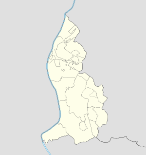
Rotenboden (also spelled Rotaboda[1]) is a village of Liechtenstein, located in the center of the country to the east of Triesenberg.
References
| ||||||||||||||
This article is issued from Wikipedia. The text is available under the Creative Commons Attribution/Share Alike; additional terms may apply for the media files.