Pitou, Changhua
From Wikipedia, the free encyclopedia
| Pitou 埤頭 | |
|---|---|
| Rural township | |
| Pitou Township · 埤頭鄉 | |
| Chinese transcription(s) | |
| • Traditional | 埤頭鄉 |
| • Pinyin | Pítóu Xiāng |
 Pitou | |
| Coordinates: 23°52′39″N 120°28′14″E / 23.87750°N 120.47056°ECoordinates: 23°52′39″N 120°28′14″E / 23.87750°N 120.47056°E | |
| Country | Taiwan |
| County | Changhua |
| Government | |
| • Mayor | Chen Cang Giong |
| Area | |
| • Total | 42.75 km2 (16.51 sq mi) |
| Population | |
| • Total | 31,996 |
| • Density | 750/km2 (1,900/sq mi) |
| Postal code | 523 |
| Website | www.pitou.gov.tw |

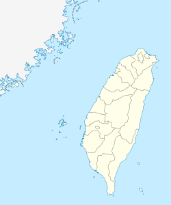
Pitou Township in Changhua County
Pitou Township (Chinese: 埤頭鄉; pinyin: Pítóu Xiāng) is a rural township in Changhua County, Taiwan.
Geography
The district has a population total of 31,996 and an area of 42.75 square kilometres (16.5 sq mi).
Education
Tourist attractions
One of the attractions in Pitou is the Kopok Flower Boulevard.[1]
Nanyun Temple in Pitou is one of the stops on the annual Dajia Matsu pilgrimage.[2]
Transportation
Pitou is adjacent to National Highway No. 1, with Zhangshui Road another major arterial route through the township. Pitou's location around major highways plays an important role in facilitating transportation of the township's agricultural produce.
See also
References
- ↑ Leisure and Tour, Changhua Pitou Country.
- ↑ Buchan, Noel: Walking with Matsu, Taipei Times, 7 April 2011.
External links
- Pitou Government website (English)
| |||||||||||||||||

This article is issued from Wikipedia. The text is available under the Creative Commons Attribution/Share Alike; additional terms may apply for the media files.