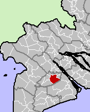
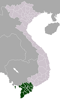
Phụng Hiệp District
From Wikipedia, the free encyclopedia
| Phung Hiep District Huyện Phụng Hiệp | |
|---|---|
| Rural district | |
 | |
| Country |
|
| Region | Mekong Delta |
| Province | Hau Giang |
| Area | |
| • Total | 187.19 sq mi (484.81 km2) |
| Population (2004) | |
| • Total | 205,460 |
| Time zone | UTC + 7 (UTC+7) |
Phụng Hiệp is a rural district (huyện) of Hau Giang province in the Mekong Delta region of Vietnam. The district is split into one urban ward and rural communes:
Phụng Hiệp, Tân Phước Hưng, Tân Bình, Hoà An, Phương Phú, Hoà Mỹ, Hiệp Hưng, Thạnh Hoà, Bình Thành, Tân Long, Long Thạnh và các thị trấn Cây Dương, Kinh Cùng.
Coordinates: 9°48′00″N 105°45′00″E / 9.800°N 105.750°E
| |||||||||||||||||||||||||||||||||||||||||||
This article is issued from Wikipedia. The text is available under the Creative Commons Attribution/Share Alike; additional terms may apply for the media files.
