Ouagadou
From Wikipedia, the free encyclopedia
| Ouagadou | |
|---|---|
| Commune | |
 Ouagadou | |
| Coordinates: 14°59′27″N 7°27′14″W / 14.99083°N 7.45389°WCoordinates: 14°59′27″N 7°27′14″W / 14.99083°N 7.45389°W | |
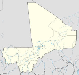
| Country |
|
| Region | Koulikoro Region |
| Cercle | Nara Cercle |
| Population (2009)[1] | |
| • Total | 19,123 |
| Time zone | GMT (UTC+0) |
Ouagadou is a commune in the Cercle of Nara in the Koulikoro Region of south-western Mali. The commune contains the town of Goumbou which is the administrative centre and 6 villages.[2] In the 2009 census the commune had a population of 19,123.[1] Goumbou is 28 km southwest of Nara, the administrative centre (chef-lieu) of the cercle.
References
- ↑ 1.0 1.1 Resultats Provisoires RGPH 2009 (Région de Koulikoro) (in French), République de Mali: Institut National de la Statistique.
- ↑ Communes de la Région de Koulikoro (in French), Ministère de l’administration territoriale et des collectivités locales, République du Mali.
External links
- Plan de Sécurité Alimentaire Commune Rurale de Ouagadou 2007-2011 (in French), Commissariat à la Sécurité Alimentaire, République du Mali, USAID-Mali, 2007.

This article is issued from Wikipedia. The text is available under the Creative Commons Attribution/Share Alike; additional terms may apply for the media files.