Nghĩa Lộ
From Wikipedia, the free encyclopedia
| Nghĩa Lộ Thị xã Nghĩa Lộ | |
|---|---|
| Town | |
 | |
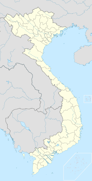
 Nghĩa Lộ | |
| Coordinates: 21°34′33″N 104°31′9″E / 21.57583°N 104.51917°ECoordinates: 21°34′33″N 104°31′9″E / 21.57583°N 104.51917°E | |
| Country |
|
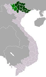
| Region | Northeast |
| Province | Yên Bái |
| Area | |
| • Total | 11 sq mi (29 km2) |
| Population (2003) | |
| • Total | 25,256 |
| Time zone | UTC + 7 (UTC+7) |
Nghĩa Lộ is a town in Yên Bái Province, in the Northeast region of Vietnam.
In 1951, the Viet Minh 312 Division fought French forces in the area as part of the First Indochina War.
As of 2003 the district had a population of 25,256.[1] The district covers an area of 29 km².[1]
References
![]() Media related to Nghĩa Lộ at Wikimedia Commons
Media related to Nghĩa Lộ at Wikimedia Commons
- ↑ 1.0 1.1 "Districts of Vietnam". Statoids. Retrieved March 23, 2009.
This article is issued from Wikipedia. The text is available under the Creative Commons Attribution/Share Alike; additional terms may apply for the media files.
