Mweya
| Mweya | |
|---|---|
 Mweya | |
| Coordinates: 00°12′47″S 29°53′42″E / 0.21306°S 29.89500°E | |
| Country |
|
| Region | Western Region, Uganda |
| Sub-region | Rwenzururu sub-region |
| District | Kasese District |
| Elevation | 3,220 ft (980 m) |
Mweya is a location in Western Uganda.
Location
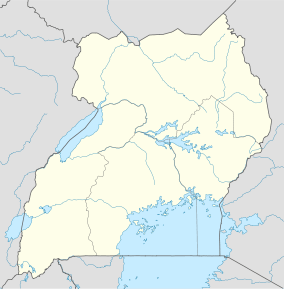
Mweya is located in Kasese District, Rwenzururu sub-region, Western Uganda. It lies within Queen Elizabeth National Park, the most visited of Uganda's national parks. The location of Mweya is approximately 66 kilometres (41 mi), by road, south of Kasese, the district headquarters and the largest town in the sub-region.[1] This location is on the northeastern shores of Lake Edward at the point where the Kazinga Channel joins the lake. The coordinates of Mweya are:00 12 47S, 29 53 42E (Latitude:-0.2130; Longitude:29.8950).
Overview
Mweya is the most visited location in Queen Elizabeth National Park, due to the amenities and facilities clustered close to its location, including an airport, accommodation facilities, access to Lake Edward and Kazinga Channel, and abundant game, on land, in the water and in the air. The topography, fauna and flora around Mweya in the northern sector of the national park, differs significantly from that in the southern sector (also known as the Ishasha sector).
Landmarks
The landmarks within or near Mweya include:
- The headquarters of Queen Elizabeth National Park
- Mweya Airport - A civilian airport located at Mweya
- Mweya Safari Lodge - A private safari lodge operated by the Madhvani Group
- Jacana Safari Lodge - A private safari lodge located about 2 kilometres (1.2 mi) south of Mweya Safari Lodge
- Kazinga Channel - A fresh waterway connecting Lake Edward and Lake George, 34 kilometres (21 mi) to the northeast of Mweya.[2]
- Lake Edward - A freshwater lake in the Western Rift Valley. The International border between Uganda and the Democratic Republic of the Congo runs through the middle of the lake
External links
- Mweya Safari Lodge
- Jacana Safari Lodge
- Queen Elizabeth National Park
- Kasese District Information Portal
Photos
See also
- Kasese District
- Queen Elizabeth National Park
- Rwenzururu sub-region
- Western Region, Uganda
References
| |||||||||||||||||||
Coordinates: 00°12′47″S 29°53′42″E / 0.21306°S 29.89500°E