La Ceja
From Wikipedia, the free encyclopedia
| La Ceja | ||
|---|---|---|
| Municipality and town | ||
 | ||
| ||
 | ||
 La Ceja | ||
| Coordinates: 6°00′39″N 75°25′39″W / 6.01083°N 75.42750°W | ||
| Country |
| |
| Department | Antioquia Department | |
| Founded | 1789 | |
| Government | ||
| • Leader | Jose Alberto Patiño | |
| Area | ||
| • Total | 131 km2 (51 sq mi) | |
| Elevation | 2,200 m (7,200 ft) | |
| Population (2012) | ||
| • Total | 45,111 | |
| • Density | 340/km2 (890/sq mi) | |
| Demonym | Cejeños | |
| Time zone | Colombia Standard Time (UTC-5) | |
| Area code(s) | 57 + 4 | |
| Website | Official website (Spanish) | |

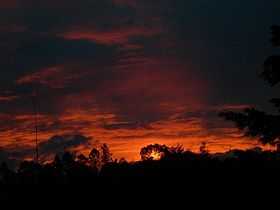
Sunset in La Ceja
La Ceja is a town and municipality in Antioquia Department, Colombia. Part of the subregion of Eastern Antioquia.
External links
- (Spanish) La Ceja official website
| |||||||||||||||||||||||||||||||||||||||||||||||||||||||||||||||
Coordinates: 6°1′50″N 75°25′54″W / 6.03056°N 75.43167°W
This article is issued from Wikipedia. The text is available under the Creative Commons Attribution/Share Alike; additional terms may apply for the media files.
.svg.png)