Kolfe Keranio
From Wikipedia, the free encyclopedia
| Kolfe Keranio | |
|---|---|
| District of Addis Ababa | |
.png) | |
 Kolfe Keranio | |
| Coordinates: 9°0′49.75″N 38°42′21.49″E / 9.0138194°N 38.7059694°ECoordinates: 9°0′49.75″N 38°42′21.49″E / 9.0138194°N 38.7059694°E | |
| Country |
|
| City | Addis Ababa |
| Area | |
| • Total | 61.25 km2 (23.65 sq mi) |
| [1] | |
| Population (2011) | |
| • Total | 546,219[1] |
| Time zone | East Africa Time (UTC+3) |
| Area code(s) | (+251) 11 |
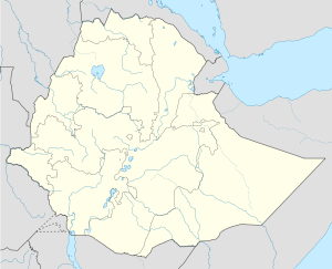
Kolfe Keranio, also spelled Kolfe Keraneo or simply Kolfe, is one of the 10 subcities of Addis Ababa, the capital of Ethiopia. As of 2011 its population was of 546,219.[1]
Geography
The district is located in the western suburb of the city, near the Gefersa Reservoir. It borders with the districts of Gullele, Addis Ketema, Lideta and Nifas Silk-Lafto.
References
- ↑ 1.0 1.1 1.2 "Kolfe Keranio". City Government of Addis Ababa.
External links
![]() Media related to Districts of Addis Ababa at Wikimedia Commons
Media related to Districts of Addis Ababa at Wikimedia Commons
- Google Inc. "Kolfe Keranio". Google Maps (Map). Cartography by Google, Inc. http://maps.google.co.uk/maps?q=kolfe+keranio+addis+ababa&ie=UTF-8&ei=XIbYUqWdEKfnywPz7YGwCg&ved=0CAgQ_AUoAg.
| |||||||||
This article is issued from Wikipedia. The text is available under the Creative Commons Attribution/Share Alike; additional terms may apply for the media files.