Ixtlahuacán
From Wikipedia, the free encyclopedia
| Ixtlahuacán | ||
|---|---|---|
| Municipal seat and city | ||
| ||
|
Ixtlahuacán | ||
| Coordinates: 18°59′52″N 103°44′09″W / 18.99778°N 103.73583°WCoordinates: 18°59′52″N 103°44′09″W / 18.99778°N 103.73583°W | ||
| Country |
| |
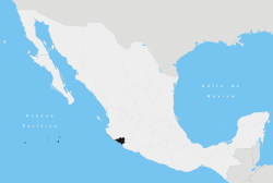
| State | Colima | |
| Municipality | Ixtlahuacán | |

Ixtlahuacán is a city and seat of the municipality of Ixtlahuacán, in the Mexican state of Colima.[1]
References
- ↑ Instituto Nacional de Estadística y Geografía. Principales resultados por localidad 2005 (ITER). Retrieved on November 9, 2008
| |||||||||||
This article is issued from Wikipedia. The text is available under the Creative Commons Attribution/Share Alike; additional terms may apply for the media files.