Glyncoch
From Wikipedia, the free encyclopedia
Coordinates: 51°37′19″N 3°20′24″W / 51.622°N 3.34°W
| Glyncoch | |
| Welsh: Glyncoch | |

|
|
 Glyncoch | |
| Principal area | Rhondda Cynon Taff |
|---|---|
| Ceremonial county | Mid Glamorgan |
| Country | Wales |
| Sovereign state | United Kingdom |
| Post town | PONTYPRIDD |
| Postcode district | CF37 |
| Dialling code | 01443 |
| Police | South Wales |
| Fire | South Wales |
| Ambulance | Welsh |
| EU Parliament | Wales |
| UK Parliament | Cynon Valley |
| |
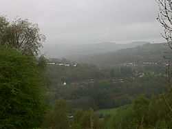
Glyncoch is a village to the north of Pontypridd in Rhondda Cynon Taf, Wales.[1] The name Glyncoch is Welsh for 'Red glen' (glyn "glen, small valley" + coch "red").
Glyncoch is a mainly social housing community between Pontypridd and Ynysybwl lying on the mountain opposite Coed-Y-Cwm. Within the commumity there are three grocery shops, Post Office, Pharmacy, Chinese Takeaway, Community Centre and two schools.
Bus services to and from the community are frequent with services to Pontypridd, Ynysybwl and Aberdare. Bus routes are operated by Veolia Transport Cymru and New Adventure Travel.
References
This article is issued from Wikipedia. The text is available under the Creative Commons Attribution/Share Alike; additional terms may apply for the media files.
