Gilze en Rijen
From Wikipedia, the free encyclopedia
| Gilze en Rijen | |||
|---|---|---|---|
| Municipality | |||
 | |||
| |||
 | |||
| Coordinates: 51°34′N 4°56′E / 51.567°N 4.933°ECoordinates: 51°34′N 4°56′E / 51.567°N 4.933°E | |||
| Country | Netherlands | ||
| Province | North Brabant | ||
| Area(2006) | |||
| • Total | 65.67 km2 (25.36 sq mi) | ||
| • Land | 65.54 km2 (25.31 sq mi) | ||
| • Water | 0.13 km2 (0.05 sq mi) | ||
| Population (1 January 2007) | |||
| • Total | 25,381 | ||
| • Density | 387/km2 (1,000/sq mi) | ||
| Source: CBS, Statline. | |||
| Time zone | CET (UTC+1) | ||
| • Summer (DST) | CEST (UTC+2) | ||


Gilze en Rijen (![]() pronunciation (help·info)) is a municipality in the southern Netherlands. The municipality contains four villages Rijen, Gilze, Hulten and Molenschot. It is home to the Gilze-Rijen Air Base.
pronunciation (help·info)) is a municipality in the southern Netherlands. The municipality contains four villages Rijen, Gilze, Hulten and Molenschot. It is home to the Gilze-Rijen Air Base.
Rijen grew in the 19th century due to its leather factories.
Population centres
- Rijen (population: 16,581)
- Gilze (7,729)
- Molenschot (1,341)
- Hulten (328)
Topography
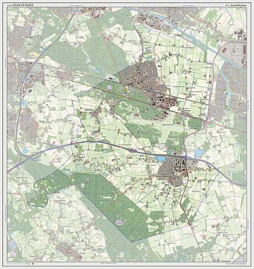
Dutch Topographic map of the municipality of Gilze en Rijen, 2013.
Transportation
Railway Station: Gilze-Rijen
Climate
The climate in this area has mild differences between highs and lows, and there is adequate rainfall year round. According to the Köppen Climate Classification system, Gilze en Rijen has a marine west coast climate, abbreviated "Cfb" on climate maps.[1]
External links
 Media related to Gilze en Rijen at Wikimedia Commons
- Official website
References
 |
Oosterhout, Dongen | | ||
| Breda | |
Tilburg | ||
| ||||
| | ||||
| Alphen-Chaam | Goirle |

This article is issued from Wikipedia. The text is available under the Creative Commons Attribution/Share Alike; additional terms may apply for the media files.