Gilgil
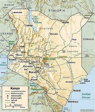
Gilgil, Kenya, is a town in the Rift Valley Province of Kenya. The town is located between Naivasha and Nakuru and along the Nairobi - Nakuru highway. It is to the west of the Gilgil River, which flows south to feed Lake Naivasha. Gilgil has a population of 18,805 according to the 1999 census. Gilgil is the centre of the Gilgil Division in Nakuru District.
History
During the 1920s - 1940s, some members of the Happy Valley set lived in Gilgil. In the 1940s it also contained a British internment camp for Irgun and Lehi members.[1]
Economy
Agriculture is the main local industry while Gilgil Telecommunications Industries was a notable employer but is now closed down as it was sold by the government. There are a few industries within the outskirts of the town, namely the Gilgil Diatomite Industries which is located further to the west along the Gilgil-Nakuru main road. The industry mines diatomite which is used for various industrial purposes. The other industry is the Ndume Farm Machineries, which manufactures farm equipment;the industry is known for its maize milling machines and ploughs.
Military
A main employer in the town remains the Ministry of Defense as the town hosts two major barracks, the Gilgil barracks located about 1 km from the Gilgil town center on the old Gilgil - Nakuru road and the Kenyatta Barracks which is also located about 2 km along the main Gilgil-Nyahururu road. The latter barracks is also known as Westcom or Western Command. The Gilgil barracks is home to the 5th Kenya Rifles (Kenya Army Infantry) also known as "the fighting five", while the Kenyatta Barracks is home to Kenya's only airborne battalion, the 20 Para and also home to the 66 Artillery brigade, the 76 Armoured Recce Battalion and the 1st Mortar Battalion. Most of the towns folks thus largely rely on the military community in economic terms. In the recent past the members of the military both active and retired personnel have invested significantly in the town's property market and also in retail business. However, in the outskirts of the town there is some small-scale farming.
The other major sources of economic support are the National Youth Service (NYS) to the west of the town and the Anti-Stock Theft Unit (ASTU) police headquarters 4 kilometres northwest of the town centre. The NYS barracks, run in a military style operation, provide a 3-month basic training for the youth who must undergo a two-year national service before they're provided with a tuition free training in most engineering technical fields. The ASTU, a paramilitary outfit, is a rapid response police unit to track down cattle rustlers mainly among the pastoral communities.
Maps
http://maps.google.co.ke/maps?q=gilgil&oe=utf-8&rls=org.mozilla:en-US:official&client=firefox-a&um=1&ie=UTF-8&sa=N&hl=en&tab=wl Between the 1950s and 1960's Gilgil was used as a base for the rotation of British infantry units who, typically, would progress from UK to BAOR Germany, Kenya (with detachments left en route in the nascent Gulf states) and then on to Hong Kong.
Statistics
- Elevation = 2,000 metres (6,600 ft approx) above sea level
- Population = 21,081
See also
- Railway stations in Kenya
- Nyeri, Kenya - another town from colonial times.
- Alice de Janzé - lived in Gilgil until 1941.
References
- ↑ Plaut, Martin (2002-08-06). "Britain's 'Guantanamo Bay'". BBC. Retrieved 2008-03-20.
External links
| ||||||||||||||||||||
Coordinates: 00°13′00″S 36°16′00″E / 0.21667°S 36.26667°E