Gaberl Pass
From Wikipedia, the free encyclopedia
| Gaberl Pass | |
|---|---|
 Gaberl Pass | |
| Elevation | 1,547 m (5,075 ft) |
| Location |
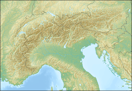
|
| Range | Alps |
| Coordinates | 47°6′0″N 14°54′0″E / 47.10000°N 14.90000°ECoordinates: 47°6′0″N 14°54′0″E / 47.10000°N 14.90000°E |
Gaberl Pass (el. 1547 m.) is a high mountain pass in the Austrian Alps in the Bundesland of Styria.
A steep road connects Köflach with the upper Mur River valley, running next to the Stubalpe. This road dates from Roman times.
It is a popular destination for both summer and winter sports.
On a clear day, the views are wide to the Dachstein in the northwest, the Riegersburg in the south and east, and into Hungary and Slovenia.
See also
- List of highest paved roads in Europe
- List of mountain passes
References
- This article incorporates information from the German Wikipedia.
| |||||||
This article is issued from Wikipedia. The text is available under the Creative Commons Attribution/Share Alike; additional terms may apply for the media files.