Fengbin, Hualien
From Wikipedia, the free encyclopedia
| Fengbin, Hualien | |
|---|---|
 | |
 | |
| Coordinates: 23°35′28″N 121°30′14″E / 23.591055°N 121.503794°ECoordinates: 23°35′28″N 121°30′14″E / 23.591055°N 121.503794°E | |
| Country | Taiwan |
| County | Hualien |
| Township | Fengbin |
| Area | |
| • Total | 162.4 km2 (62.7 sq mi) |
| Population (2012) | |
| • Total | 4,713 |
| • Density | 29/km2 (75/sq mi) |
| Website | http://www.feng-bin.gov.tw/bin/home.php |
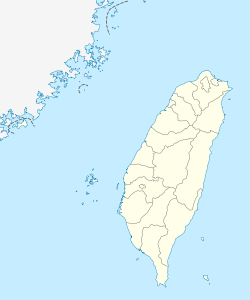
Fengbin Township (Chinese: 豐濱鄉) is a rural township located in Hualien County, Taiwan, connected with Taitung County. The East is faced Pacific Ocean and the West is Haian Range. It has the least population around 5,000 inhabitants in Hualien County.

Fengbin Tropic of Cancer Marker.
Tourist attractions
- Taiwan East Coast National Scenic Area
- Xiuguluan River Rafting
- Fengbin Tropic of Cancer Marker
- Jiqi seaside resort
- Chenghong Bridge Recreation Area
- Shitiping Scenic Area
- Shiti Port Whale Watching
Transportation
- Provincial Highway No. 11
- Provincial Highway No. 11A
See also
External links
| |||||||||||||||||
This article is issued from Wikipedia. The text is available under the Creative Commons Attribution/Share Alike; additional terms may apply for the media files.
