Districts of Rwanda
From Wikipedia, the free encyclopedia
 |
| This article is part of a series on the politics and government of Rwanda |
|

Districts of Rwanda
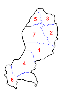
The Provinces of Rwanda are subdivided into 30 districts (Kinyarwanda: uturere, sing. akarere). Each district is in turn divided into sectors. Until 2001, the districts had been called communes.[1] In 2006, the number of districts was reduced from 106 to 30.[2]
The districts are listed below, by province.[3]
East Province

Districts of East province
- Bugesera
- Gatsibo
- Kayonza
- Kirehe
- Ngoma
- Nyagatare
- Rwamagana
Kigali Province

Districts of Kigali province
- Gasabo
- Kicukiro
- Nyarugenge
North Province

Districts of North province
- Burera
- Gakenke
- Gicumbi
- Musanze
- Rulindo
South Province

Districts of South province
- Gisagara
- Huye
- Kamonyi
- Muhanga
- Nyamagabe
- Nyanza
- Nyaruguru
- Ruhango
West Province

Districts of West province
- Karongi
- Ngororero
- Nyabihu
- Nyamasheke
- Rubavu
- Rusizi
- Rutsiro
See also
References
- ↑ Brown, Gillian; Cliffe, Sarah; Guggenheim, Scott; Kostner, Markus; and Opper, Susan (July 2002). "A Tale of Two Projects: Community-Based Reconstruction in East Timor and Rwanda" (pdf). Social Funds Innovation Update – Volume 2 No. 4. Social Funds thematic group of the Human Development Network – Social Protection, The World Bank. Retrieved 17 May 2011.
- ↑ "Districts of Rwanda". Statoids. Gwillim Law. 27 April 2010. Retrieved 17 May 2011.
- ↑ "Administrative maps". Territorial Administration. Ministry of Local Government, Government of Rwanda. 5 May 2011. Retrieved 17 May 2011.
| ||||||||
| ||||||||||||||||||||||||||||||||||||
This article is issued from Wikipedia. The text is available under the Creative Commons Attribution/Share Alike; additional terms may apply for the media files.