Dé, Mali
From Wikipedia, the free encyclopedia
| Dé | |
|---|---|
| Village | |
 Dé | |
| Coordinates: 14°46′44″N 3°15′32″W / 14.77889°N 3.25889°WCoordinates: 14°46′44″N 3°15′32″W / 14.77889°N 3.25889°W | |
| Country |
|
| Region | Mopti Region |
| Cercle | Bandiagara Cercle |
| Commune | Diamnati |
| Time zone | GMT (UTC+0) |
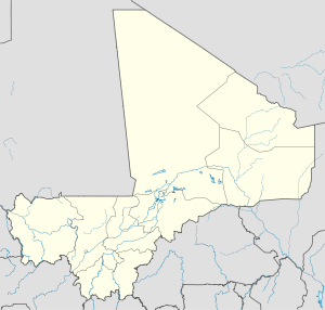
Dé is a village and seat of the commune of Diamnati in the Cercle of Bandiagara of the Mopti Region of southern-central Mali.[1]
References
- ↑ Communes de la Région de Mopti (in French), Ministère de l’administration territoriale et des collectivités locales, République du Mali.

This article is issued from Wikipedia. The text is available under the Creative Commons Attribution/Share Alike; additional terms may apply for the media files.