Chaplin Peak
From Wikipedia, the free encyclopedia

Location of Sentinel Range in Western Antarctica.

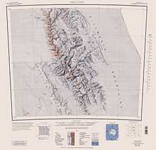
Sentinel Range map.
Chaplin Peak is the peak rising to 1978 m on the west side of Bender Glacier, 5 mi southwest of Mount Craddock in the Sentinel Range of Ellsworth Mountains, Antarctica.
The peak was named by US-ACAN in 2006 after Stephen Neville Chaplin, geologist and member of the Omega Foundation High Antarctic GPS Expedition 2005-06 that conducted GPS surveys of peaks in the area, including this peak. US mapping in 1961, updated in 1988.
Maps
- Vinson Massif. Scale 1:250 000 topographic map. Reston, Virginia: US Geological Survey, 1988.
References
- Bulgarian Antarctic Gazetteer. Antarctic Place-names Commission. (details in Bulgarian, basic data in English)
- Chaplin Peak. SCAR Composite Gazetteer of Antarctica.
This article is issued from Wikipedia. The text is available under the Creative Commons Attribution/Share Alike; additional terms may apply for the media files.