Chagyr
From Wikipedia, the free encyclopedia
| Chagyr | |
|---|---|
 Chagyr | |
| Coordinates: 39°51′36″N 73°16′48″E / 39.86000°N 73.28000°ECoordinates: 39°51′36″N 73°16′48″E / 39.86000°N 73.28000°E | |
| Country | Kyrgyzstan |
| Province | Osh Province |
| Elevation | 2,654 m (8,707 ft) |
| Time zone | UTC +5 |
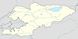
Chagyr is a mountain village in the Osh Province of Kyrgyzstan, near highway M41.
Nearby towns and villages include Shumkar (2 miles), Akbosaga (5 miles) and Chongkarakël' (8 miles).
References
External links
This article is issued from Wikipedia. The text is available under the Creative Commons Attribution/Share Alike; additional terms may apply for the media files.