Brummen
From Wikipedia, the free encyclopedia
| Brummen | |||
|---|---|---|---|
| Municipality | |||
 | |||
| |||
 | |||
| Coordinates: 52°6′N 06°10′E / 52.100°N 6.167°ECoordinates: 52°6′N 06°10′E / 52.100°N 6.167°E | |||
| Country | Netherlands | ||
| Province | Gelderland | ||
| Area(2006) | |||
| • Total | 85.10 km2 (32.86 sq mi) | ||
| • Land | 84.01 km2 (32.44 sq mi) | ||
| • Water | 1.09 km2 (0.42 sq mi) | ||
| Population (1 January, 2007) | |||
| • Total | 21,227 | ||
| • Density | 253/km2 (660/sq mi) | ||
| Source: CBS, Statline. | |||
| Time zone | CET (UTC+1) | ||
| • Summer (DST) | CEST (UTC+2) | ||
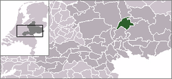
 Brummen (
![]() pronunciation (help·info)) is a municipality and a village in the eastern Netherlands.
pronunciation (help·info)) is a municipality and a village in the eastern Netherlands.
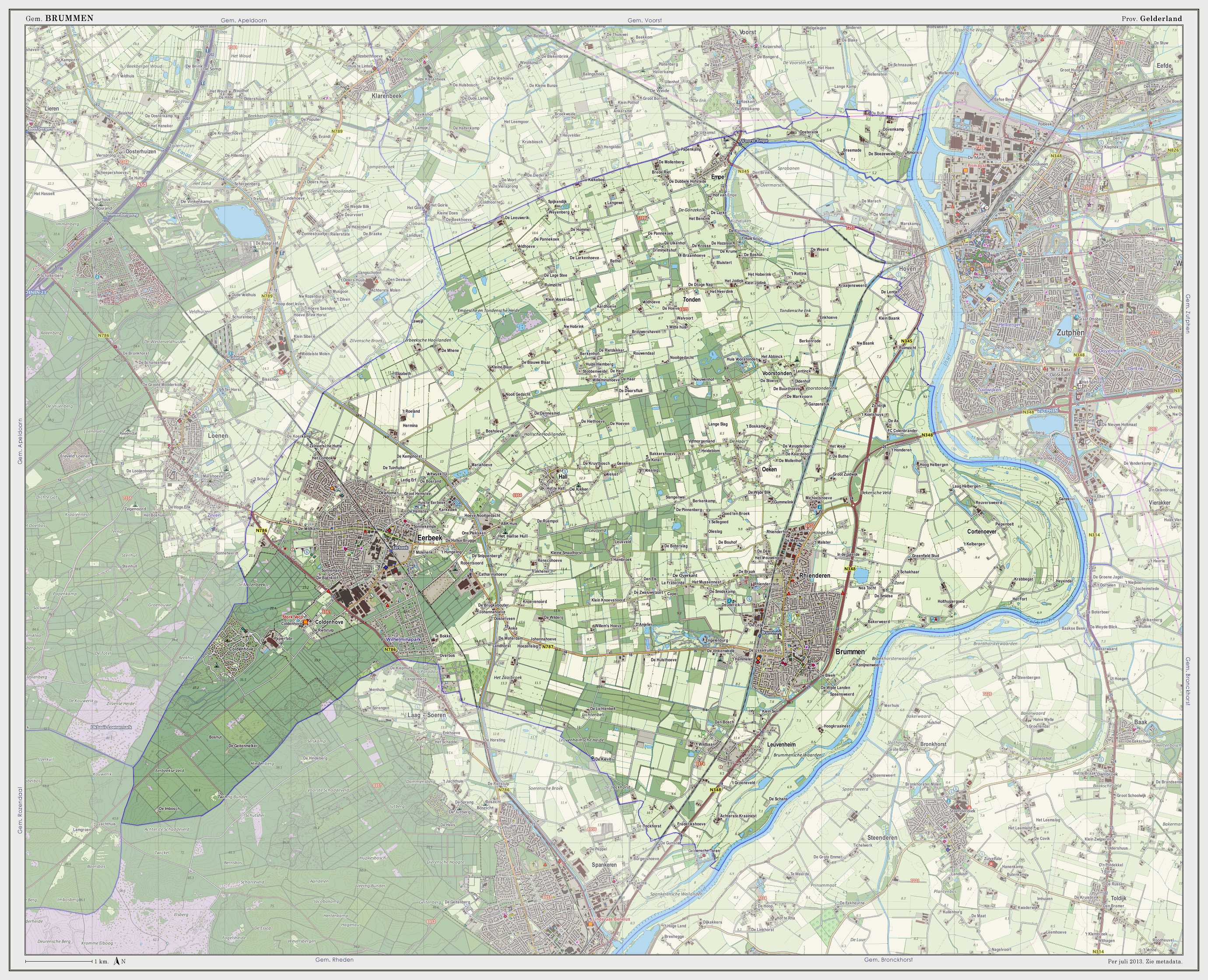
Brummen has a small railway station - Brummen railway station on the line between Zutphen and Arnhem. The village is situated about 7 km (4.3 mi) southwest of Zutphen, no farther than 1.5 km from the IJssel river. About two kilometers west of the village, on the edge of the Veluwe forest area, lies the Engelenburg resort, a castle-like house. It is in use as a hotel for golf players and has a 9-hole golf-link.
Population centres
- Brummen
- Eerbeek (the largest village in the municipality)
- Empe (which has a small railway station on the line Apeldoorn-Zutphen)
- Hall with an interesting chapel dating from the Middle Ages
- Leuvenheim
- Oeken
- Tonden
- Voorstonden
Transportation
- Brummen railway station is served by 2 trains per hour serving places such as Zutphen, Dieren, Arnhem and Nijmegen.
International relations
Twin towns — sister cities
Brummen is twinned with:
External links
| Wikimedia Commons has media related to Brummen. |
 |
Voorst |  | ||
| Apeldoorn | |
Zutphen Bronckhorst | ||
| ||||
| | ||||
| Rozendaal | Rheden |
This article is issued from Wikipedia. The text is available under the Creative Commons Attribution/Share Alike; additional terms may apply for the media files.


