Boujailles
From Wikipedia, the free encyclopedia
| Boujailles | |
|---|---|
 | |
 Boujailles | |
|
Location within Franche-Comté region  Boujailles | |
| Coordinates: 46°53′19″N 6°04′52″E / 46.8886°N 6.0811°ECoordinates: 46°53′19″N 6°04′52″E / 46.8886°N 6.0811°E | |
| Country | France |
| Region | Franche-Comté |
| Department | Doubs |
| Arrondissement | Pontarlier |
| Canton | Levier |
| Intercommunality | Plateau de Frasne et du Val du Drugeon |
| Government | |
| • Mayor (2008–2014) | Gérard Paulin |
| Area | |
| • Land1 | 28.22 km2 (10.90 sq mi) |
| Population (2008) | |
| • Population2 | 423 |
| • Population2 Density | 15/km2 (39/sq mi) |
| INSEE/Postal code | 25079 / 25560 |
| Elevation | 780–901 m (2,559–2,956 ft) |
|
1 French Land Register data, which excludes lakes, ponds, glaciers > 1 km² (0.386 sq mi or 247 acres) and river estuaries. 2 Population without double counting: residents of multiple communes (e.g., students and military personnel) only counted once. | |
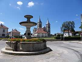
Boujailles is a commune in the Doubs department in the Franche-Comté region in eastern France.
Population
| Historical population | ||
|---|---|---|
| Year | Pop. | ±% |
| 1962 | 389 | — |
| 1968 | 431 | +10.8% |
| 1975 | 368 | −14.6% |
| 1982 | 413 | +12.2% |
| 1990 | 354 | −14.3% |
| 1999 | 371 | +4.8% |
| 2008 | 423 | +14.0% |
See also
References
| Wikimedia Commons has media related to Boujailles. |
This article is issued from Wikipedia. The text is available under the Creative Commons Attribution/Share Alike; additional terms may apply for the media files.