Bender Glacier


Bender Glacier (78°43′S 85°20′W / 78.717°S 85.333°WCoordinates: 78°43′S 85°20′W / 78.717°S 85.333°W) is a glacier that flows from Mount Atkinson and Mount Craddock southwards between Chaplin Peak and Krusha Peak, and joins Nimitz Glacier just south of Gilbert Spur in the southern Sentinel Range, Ellsworth Mountains in Antarctica. Receiving ice influx from its left tributaries Severinghaus Glacier, Brook Glacier and Bolgrad Glacier.
It was named by the Advisory Committee on Antarctic Names (2006) after Professor Michael L. Bender at the Department of Geosciences (Geochemistry), Princeton University (earlier at the Graduate School of Oceanography, University of Rhode Island), whose paleoclimate research from 1984 centered on the glacial-interglacial climate change and the global carbon cycle.
Maps
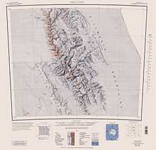
- Vinson Massif. Scale 1:250 000 topographic map. Reston, Virginia: US Geological Survey, 1988.
References
- SCAR Composite Gazetteer of Antarctica.
-
 This article incorporates public domain material from the United States Geological Survey document "Bender Glacier" (content from the Geographic Names Information System).