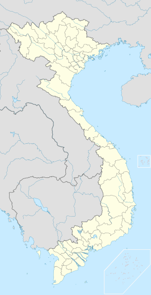
Ba Đồn
From Wikipedia, the free encyclopedia
| Ba Đồn Thị xã Ba Đồn | |
|---|---|
| Town | |
 Ba Đồn | |
| Coordinates: 17°48′N 105°58′E / 17.800°N 105.967°E | |
| Country |
|
| Province | Quảng Bình |
| Area | |
| • Total | 63.0052 sq mi (163.1828 km2) |
| Time zone | UTC+7 (UTC+7) |
Ba Đồn is a town (thị xã) in Quảng Bình Province, Vietnam. The town is equal to a huyện and located on National Route 1A, about 40 km north of the provincial capital, Đồng Hới. The township is the commercial and service center serving surrounding rural areas. Ba Đồn was incorporated into a 3rd municipality (town or thị xã) including some neighboring communes of Quang Trach District on December 20, 2013. 2013[1]
Ba Đồn Town has an area of 163,1828 km2, population as of 2013 was 115,196. In 2012, extended Ba Đồn Township was recognised class IV municipality.[2]
Administrative subdivisions
Ba Don Town includes: 6 urban wards (phường):
- Ba Đồn
- Quảng Thọ
- Quảng Long
- Quảng Thuận
- Quảng Phong
- Quảng Phúc
10 rural communes (xã):
- Quảng Minh,
- Quảng Sơn,
- Quảng Thủy,
- Quảng Hòa,
- Quảng Lộc,
- Quảng Văn,
- Quảng Tân,
- Quảng Trung,
- Quảng Tiên,
- Quảng Hải.
Notes
- ↑ http://chinhphu.vn/portal/page/portal/chinhphu/hethongvanban?class_id=509&_page=1&mode=detail&document_id=171406
- ↑ Decision 367/QĐ-BXD dated April 18, 2012 by the Minister of Construction on recognising extended Ba Đồn Town meeting class IV municipality norm.
| |||||||||||||||||||||||||||||
This article is issued from Wikipedia. The text is available under the Creative Commons Attribution/Share Alike; additional terms may apply for the media files.
