Alison Bay

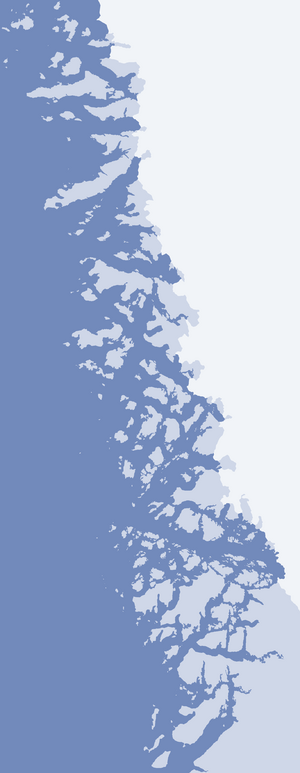
Alison Bay (Greenlandic: Kullorsuup Kangerlua) is a bay in the Qaasuitsup municipality in northwestern Greenland. The bay is a tributary bay of Melville Bay, and is located in the northern part of Upernavik Archipelago, between Kiatassuaq Island in the southwest and the mainland of Greenland in the northeast.
Geography

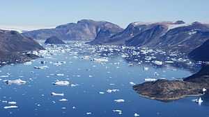
Alison bay is 20.5 km (12.7 mi) long. Part of the southern Melville Bay region, the bay is frozen for most of the year. In the northeast, it is bounded by the Wandel Land nunatak, culimnating in an unnamed 931 m (3,054 ft) peak. Iterlassuaq, a small indentiation of the bay separates Wandel Land in the north from Qaqqasungnarsuaq − another, smaller nunatak, culminating in an unnamed 510 m (1,670 ft) peak.[1]
A small unnamed glacier tongue of Greenland ice sheet drains the latter into the innermost part of the bay, east of the opening of the Ikerasaa Strait. The strait flows west-south-westward between Kiatassuaq Island in the north, and Sanningassorsuaq Peninsula in the south. The entrance to the strait is split into two channels, with a small Milissua Island straddling the middle.
References
| Wikimedia Commons has media related to Alison Bay. |
- ↑ Upernavik Avannarleq, Saga Map, Tage Schjøtt, 1992
| |||||||||||||||||||||||||||||||||||||||||||
Coordinates: 74°32′N 56°25′W / 74.533°N 56.417°W