| Finisterre Range | |
|---|---|
|
Finisterre Range
|
|
| Elevation | 4,125 m (13,533 ft) [1] |
| Prominence | 3,645 m (11,959 ft) [1] Ranked 45th |
| Listing | Ultra |
| Location | |
| Location | Papua New Guinea |
| Climbing | |
| First ascent | Unclimbed |
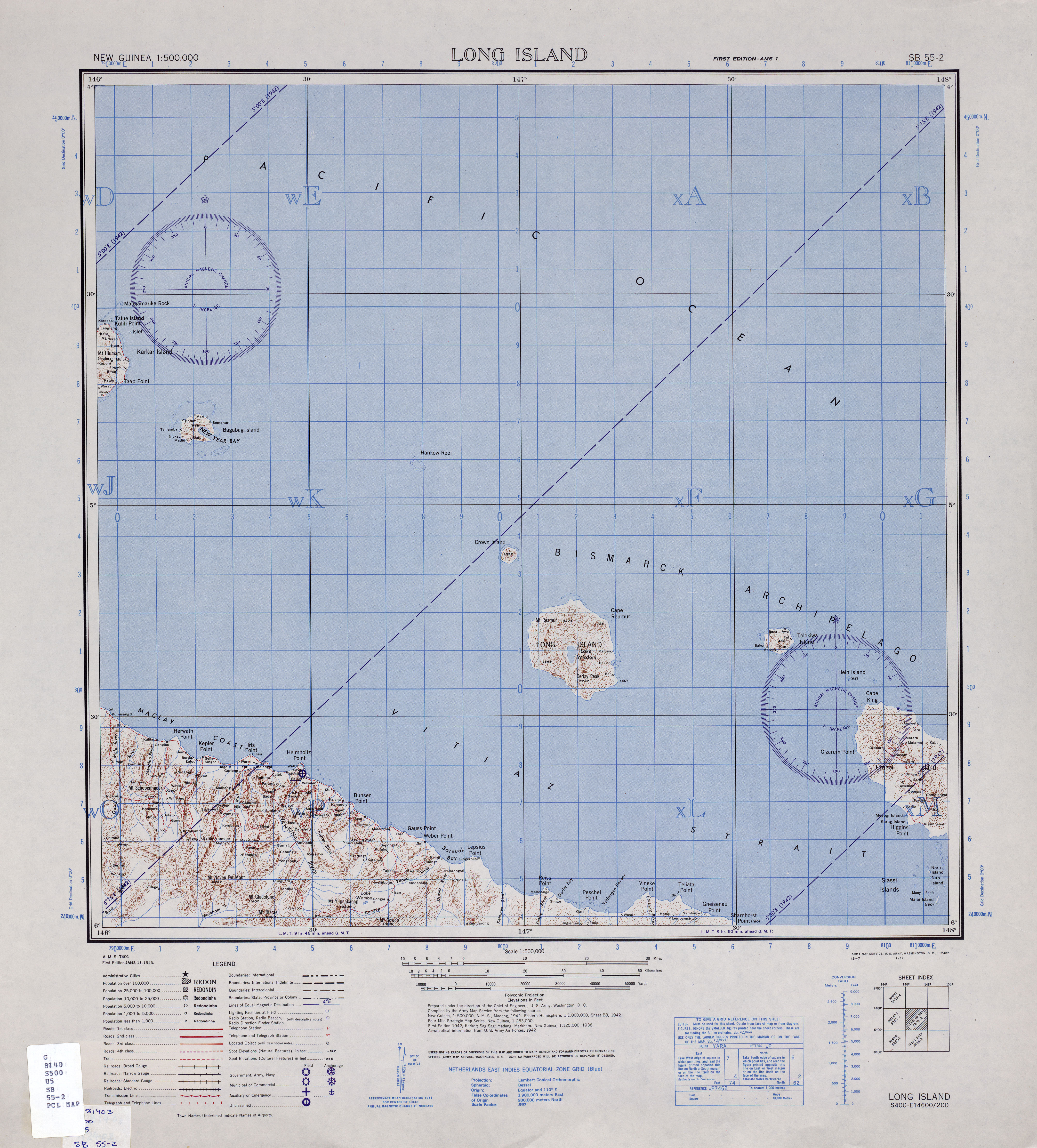
Finisterre Range is a mountain range in north-eastern Papua New Guinea, at . The unnamed highest point of the range , which is ranked 45th in the world by prominence, is usually quoted at 4,175 m, but SRTM data suggests that it is nearer to 4,120 m.[2] With no confirmed successful ascents recorded, this peak is possibly the most prominent unclimbed peak in the world.
The range runs into the Saruwaged Range to the east and together they form a natural barrier between the Ramu and Markham valleys to the south and Vitiaz Strait to the north. Many rivers originate in this range, including some tributaries of the Ramu.
The Finisterre Range campaign (1943–1944) of World War II, including a series of actions known as Battle of Shaggy Ridge, saw fierce fighting between Australian and Japanese forces.
Although the range's high point has no official name, there is a 1942 American Army map which names the peak "Mt. Gladstone".[3]