List of parishes in Louisiana

The U.S. state of Louisiana is divided into 64 parishes in the same way that 48 of the other states of the United States are divided into counties (Alaska is divided into boroughs and census areas).
Louisiana was formed from French and Spanish colonies, which were both officially Roman Catholic. Consequently, local government was based upon parishes, as the local ecclesiastical division. Following the Louisiana Purchase in 1803, the Territorial Legislative Council divided Orleans Territory (the predecessor of Louisiana state) into twelve counties. The borders of these counties were poorly defined, but they roughly coincided with the colonial parishes, and hence used the same names.[1]
On March 31, 1807, the territorial legislature divided the state into 19 parishes, without getting rid of the old counties (which continued to exist until 1845).[2]
In 1811, a constitutional convention was held to prepare for Louisiana's admission into the Union.[3] This organized the state into seven judicial districts, each consisting of groups of parishes. In 1816, the first official map of the state used the term, as did the 1845 constitution. Since then, the official term for Louisiana's primary civil divisions has been parishes.
Listing
| Parish |
FIPS Code [4] |
Parish seat [5] |
Established [5] |
Origin |
Population [5] |
Area [5] |
Map |
|---|---|---|---|---|---|---|---|
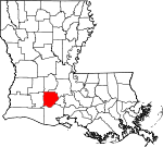
| Acadia Parish | 001 | Crowley | 1886 | from part of St. Landry Parish. | 58,861 | 1,703 sq mi (4,411 km²) |
 |
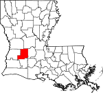
| Allen Parish | 003 | Oberlin | 1912 | from part of Calcasieu Parish. | 25,440 | 1,983 sq mi (5,136 km²) |
 |
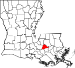
| Ascension Parish | 005 | Donaldsonville | 1807 | One of the original 19 parishes. | 76,627 | 784 sq mi (2,031 km²) |
 |
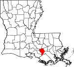
| Assumption Parish | 007 | Napoleonville | 1807 | One of the original 19 parishes. | 23,388 | 944 sq mi (2,445 km²) |
 |
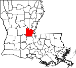
| Avoyelles Parish | 009 | Marksville | 1807 | One of the original 19 parishes. | 41,481 | 2,242 sq mi (5,807 km²) |
 |
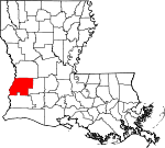
| Beauregard Parish | 011 | DeRidder | 1912 | from part of Calcasieu Parish. | 32,986 | 3,020 sq mi (7,822 km²) |
 |
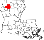
| Bienville Parish | 013 | Arcadia | 1848 | from part of Claiborne Parish. | 15,752 | 2,128 sq mi (5,511 km²) |
 |
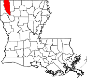
| Bossier Parish | 015 | Benton | 1843 | from part Claiborne Parish. | 98,310 | 2,245 sq mi (5,815 km²) |
 |
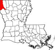
| Caddo Parish | 017 | Shreveport | 1838 | from part of Natchitoches Parish. | 252,161 | 2,427 sq mi (6,286 km²) |
 |
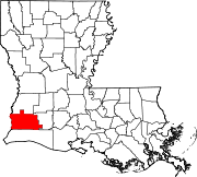
| Calcasieu Parish | 019 | Lake Charles | 1840 | from part of St. Landry Parish. | 183,577 | 2,834 sq mi (7,340 km²) |
 |
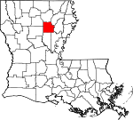
| Caldwell Parish | 021 | Columbia | 1838 | from part of Catahoula Parish and Ouachita Parish. | 10,560 | 1,400 sq mi (3,626 km²) |
 |
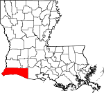
| Cameron Parish | 023 | Cameron | 1870 | from parts of Calcasieu Parish and Vermilion Parish. | 9,991 | 5,003 sq mi (12,958 km²) |
 |
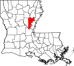
| Catahoula Parish | 025 | Harrisonburg | 1808 | from parts of Ouachita Parish and Rapides Parish. | 10,920 | 1,915 sq mi (4,960 km²) |
 |
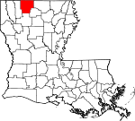
| Claiborne Parish | 027 | Homer | 1828 | from part of Natchitoches Parish. | 16,851 | 1,988 sq mi (5,149 km²) |
 |
| Concordia Parish | 029 | Vidalia | 1807 | One of the original 19 parishes. | 20,247 | 1,939 sq mi (5,022 km²) |
 |
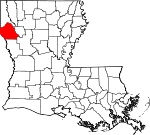
| De Soto Parish | 031 | Mansfield | 1843 | from parts of Caddo Parish and Natchitoches Parish. | 25,494 | 2,317 sq mi (6,001 km²) |
 |
| East Baton Rouge Parish | 033 | Baton Rouge | 1810 | from West Florida territory. | 412,852 | 1,219 sq mi (3,157 km²) |
 |
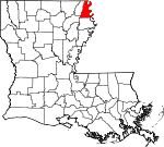
| East Carroll Parish | 035 | Lake Providence | 1877 | when Carroll Parish was divided. | 9,421 | 1,144 sq mi (2,963 km²) |
 |
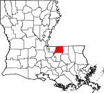
| East Feliciana Parish | 037 | Clinton | 1824 | when Feliciana Parish was divided. | 21,360 | 1,180 sq mi (3,056 km²) |
 |
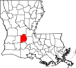
| Evangeline Parish | 039 | Ville Platte | 1910 | from part of St. Landry Parish. | 35,434 | 1,760 sq mi (4,558 km²) |
 |
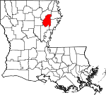
| Franklin Parish | 041 | Winnsboro | 1843 | from parts of Carroll Parish, Catahoula Parish, Madison Parish and Ouachita Parish | 21,263 | 1,646 sq mi (4,263 km²) |
 |
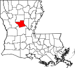
| Grant Parish | 043 | Colfax | 1869 | from parts of Rapides Parish and Winn Parish. | 18,698 | 1,721 sq mi (4,457 km²) |
 |
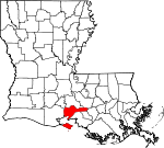
| Iberia Parish | 045 | New Iberia | 1868 | from parts of St. Martin Parish and St. Mary Parish. | 73,266 | 2,670 sq mi (6,915 km²) |
 |
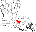
| Iberville Parish | 047 | Plaquemine | 1807 | One of the original 19 parishes. | 33,320 | 1,691 sq mi (4,380 km²) |
 |
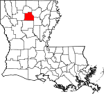
| Jackson Parish | 049 | Jonesboro | 1845 | from parts of Claiborne Parish, Ouachita Parish and Union Parish | 15,397 | 1,503 sq mi (3,893 km²) |
 |
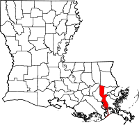
| Jefferson Parish | 051 | Gretna | 1825 | from part of Orleans Parish | 455,466 | 1,664 sq mi (4,310 km²) |
 |
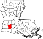
| Jefferson Davis Parish | 053 | Jennings | 1912 | from part of Calcasieu Parish. | 31,435 | 1,706 sq mi (4,419 km²) |
 |
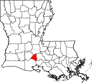
| Lafayette Parish | 055 | Lafayette | 1823 | from part of St. Martin Parish. | 190,503 | 700 sq mi (1,813 km²) |
 |
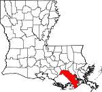
| Lafourche Parish | 057 | Thibodaux | 1807 | One of the original 19 parishes. Was named Interior Parish until 1812 and Lafourche Interior Parish until 1853. | 89,974 | 3,813 sq mi (9,876 km²) |
 |
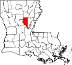
| La Salle Parish | 059 | Jena | 1908 | from part of Catahoula Parish. | 14,282 | 1,716 sq mi (4,444 km²) |
 |
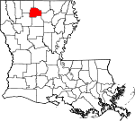
| Lincoln Parish | 061 | Ruston | 1873 | from parts of Bienville Parish, Claiborne Parish, Jackson Parish and Union Parish. | 42,509 | 1,223 sq mi (3,168 km²) |
 |
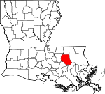
| Livingston Parish | 063 | Livingston | 1832 | from part of St. Helena Parish. | 91,814 | 1,820 sq mi (4,714 km²) |
 |
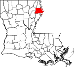
| Madison Parish | 065 | Tallulah | 1838 | from Concordia Parish. | 13,728 | 1,685 sq mi (4,364 km²) |
 |
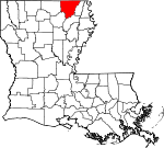
| Morehouse Parish | 067 | Bastrop | 1844 | from parts of Carroll Parish and Ouachita Parish. | 31,021 | 2,085 sq mi (5,400 km²) |
 |
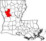
| Natchitoches Parish | 069 | Natchitoches | 1807 | One of the original 19 parishes. | 39,080 | 3,365 sq mi (8,715 km²) |
 |
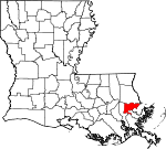
| Orleans Parish | 071 | New Orleans | 1807 | One of the original 19 parishes. Today coterminous with the City of New Orleans. | 484,674 | 907 sq mi (2,349 km²) |
 |
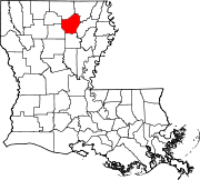
| Ouachita Parish | 073 | Monroe | 1807 | One of the original 19 parishes. | 147,250 | 1,639 sq mi (4,245 km²) |
 |
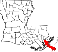
| Plaquemines Parish | 075 | Pointe a la Hache | 1807 | One of the original 19 parishes. | 26,757 | 6,290 sq mi (16,291 km²) |
 |
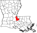
| Pointe Coupee Parish | 077 | New Roads | 1807 | One of the original 19 parishes. | 22,763 | 1,530 sq mi (3,963 km²) |
 |
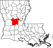
| Rapides Parish | 079 | Alexandria | 1807 | One of the original 19 parishes. | 126,337 | 3,527 sq mi (9,135 km²) |
 |
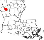
| Red River Parish | 081 | Coushatta | 1871 | from parts of Bienville Parish, Bossier Parish, Caddo Parish and Natchitoches Parish. | 9,622 | 1,041 sq mi (2,696 km²) |
 |
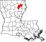
| Richland Parish | 083 | Rayville | 1868 | from parts of Carroll Parish, Franklin Parish, Morehouse Parish and Ouachita Parish. | 20,981 | 1,462 sq mi (3,787 km²) |
 |
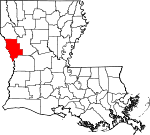
| Sabine Parish | 085 | Many | 1843 | from parts of Caddo Parish and Natchitoches Parish. | 23,459 | 2,620 sq mi (6,786 km²) |
 |
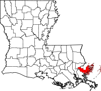
| Saint Bernard Parish | 087 | Chalmette | 1807 | One of the original 19 parishes. | 67,229 | 4,646 sq mi (12,033 km²) |
 |
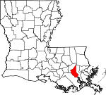
| Saint Charles Parish | 089 | Hahnville | 1807 | One of the original 19 parishes. | 48,072 | 1,062 sq mi (2,751 km²) |
 |
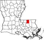
| Saint Helena Parish | 091 | Greensburg | 1810 | from West Florida territory. | 10,525 | 1,060 sq mi (2,745 km²) |
 |
| Saint James Parish | 093 | Convent | 1807 | One of the original 19 parishes. | 21,216 | 668 sq mi (1,730 km²) |
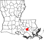 |
| Saint John the Baptist Parish | 095 | Edgard | 1807 | One of the original 19 parishes. | 43,044 | 901 sq mi (2,334 km²) |
 |
| Saint Landry Parish | 097 | Opelousas | 1807 | One of the original 19 parishes. | 87,700 | 2,432 sq mi (6,299 km²) |
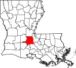 |
| Saint Martin Parish | 099 | Saint Martinville | 1807 | One of the original 19 parishes. | 48,583 | 2,115 sq mi (5,478 km²) |
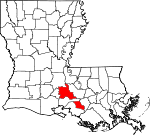 |
| Saint Mary Parish | 101 | Franklin | 1811 | from part of St. Martin County. | 53,500 | 1,585 sq mi (4,105 km²) |
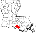 |
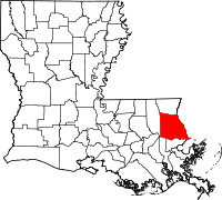
| Saint Tammany Parish | 103 | Covington | 1810 | from West Florida territory. | 191,268 | 2,911 sq mi (7,539 km²) |
 |
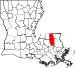
| Tangipahoa Parish | 105 | Amite | 1868 | from parts of Livingston Parish, St. Helena Parish, St. Tammany Parish and Washington Parish. | 100,588 | 2,132 sq mi (5,522 km²) |
 |
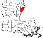
| Tensas Parish | 107 | Saint Joseph | 1843 | from part of Concordia Parish. | 6,618 | 1,661 sq mi (4,302 km²) |
 |
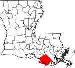
| Terrebonne Parish | 109 | Houma | 1822 | from part of Lafourche Parish. | 104,503 | 5,387 sq mi (13,952 km²) |
 |
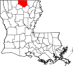
| Union Parish | 111 | Farmerville | 1839 | from part of Ouachita Parish. | 22,803 | 2,345 sq mi (6,074 km²) |
 |
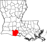
| Vermilion Parish | 113 | Abbeville | 1844 | from part of Lafayette Parish. | 53,807 | 3,984 sq mi (10,319 km²) |
 |
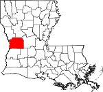
| Vernon Parish | 115 | Leesville | 1871 | from parts of Natchitoches Parish, Rapides Parish and Sabine Parish. | 52,531 | 3,474 sq mi (8,998 km²) |
 |
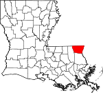
| Washington Parish | 117 | Franklinton | 1819 | from part of St. Tammany Parish. | 43,926 | 1,751 sq mi (4,535 km²) |
 |
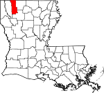
| Webster Parish | 119 | Minden | 1871 | from parts of Bienville Parish, Bossier Parish and Claiborne Parish. | 41,831 | 1,593 sq mi (4,126 km²) |
 |
| West Baton Rouge Parish | 121 | Port Allen | 1807 | One of the original 19 parishes. Was named Baton Rouge Parish until 1812. | 21,601 | 527 sq mi (1,365 km²) |
 |
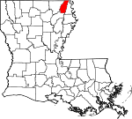
| West Carroll Parish | 123 | Oak Grove | 1877 | when Carroll Parish was divided. | 12,314 | 933 sq mi (2,416 km²) |
 |
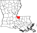
| West Feliciana Parish | 125 | Saint Francisville | 1824 | when Feliciana Parish was divided. | 15,111 | 1,051 sq mi (2,722 km²) |
 |
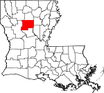
| Winn Parish | 127 | Winnfield | 1852 | from parts of Catahoula Parish, Natchitoches Parish and Rapides Parish. | 16,894 | 2,478 sq mi (6,418 km²) |
 |
Defunct parishes
- Biloxi Parish formed in 1811 from West Florida territory. It was eliminated in 1812 when part of the former West Florida area was transferred to Mississippi Territory.[1]
- Carroll Parish formed in 1838 from part of Ouachita Parish. In 1877, it was divided into East Carroll Parish and West Carroll Parish.[1]
- Feliciana Parish formed in 1810 from West Florida territory. In 1824, it was divided in 1824 into East Feliciana Parish and West Feliciana Parish.[1]
- Pascagoula Parish formed in 1811 from West Florida territory. It was eliminated in 1812 when part of the former West Florida area was transferred to Mississippi Territory.[1]
- Warren Parish formed in 1811 from part of Concordia Parish, and merged into Concordia Parish and Ouachita Parish in 1814.[1]
Counties
The thirteen counties defined by the Territorial Legislative Council in 1803 were:
- Acadia County
- Attakapas County
- Concordia County
- German Coast County
- Iberville County
- Lafourche County
- Natchitoches County
- Opelousas County
- Orleans County
- Ouachita County
- Pointe Coupee County
- Rapides County
In addition, Feliciana County was established in 1810 from West Florida territory.
Fictional parishes
- In the novels Little Altars Everywhere, Divine Secrets of the Ya-Ya Sisterhood, and Ya-Yas in Bloom, author Rebecca Wells created the fictional "Garnet Parish".
- The movie Steel Magnolias was said to take place in the fictional "Chinquapin Parish".
- Part of Walter Jon Williams' novel The Rift is set in the fictional Spottswood Parish.
- HBO's True Blood takes place in the fictional "Renard Parish"
References
- "Find a County". National Association of Counties. Retrieved on 2007-03-13. - Counties, parish seats, areas, names and date of formation of current parishes
- "Louisiana County Formation Maps". Retrieved on 2007-03-13. - Formation dates and origin of parishes
- ↑ 1.0 1.1 1.2 1.3 1.4 1.5 Bryansite - Louisiana parishes
- ↑ Louisiana Timeline - 1807
- ↑ The Admission of Louisiana into the Union
- ↑ "EPA County FIPS Code Listing". EPA.gov. Retrieved on 2008-02-23.
- ↑ 5.0 5.1 5.2 5.3 National Association of Counties. "NACo - Find a county". Retrieved on 2008-06-12.
|
|||||
|
