New York State Route 414
From Wikipedia, the free encyclopedia
 |
|||||||||||||
| NY Route 414 |
|||||||||||||
| Length: | 83.20 mi[1] (133.90 km) | ||||||||||||
|---|---|---|---|---|---|---|---|---|---|---|---|---|---|
| Formed: | Mid-1930s[2] | ||||||||||||
| South end: | |||||||||||||
| Major junctions: |
|||||||||||||
| North end: | |||||||||||||
| Counties: | Steuben, Chemung, Schuyler, Seneca, Wayne | ||||||||||||
|
|||||||||||||
New York State Route 414 is a major north-south state highway in western New York. The route, which spans five counties and roughly parallels NY 14 between Watkins Glen and Wolcott, intersects every major east-west arterial in western New York. Its southern terminus is at NY 352 in Corning and its northern terminus is at NY 104 in Wolcott.
Contents |
[edit] Route description
NY 414 is 83.20 miles (133.90 km) in length, spanning five counties and linking the major east-west arterials of New York State.
| Communities |
|---|
[edit] Steuben and Chemung Counties
NY 414 begins at an intersection with NY 352 on the Denison Parkway as Cedar Street in Corning, Steuben County. North of this point, NY 414 merges with Centerway, retaining the Centerway name. The route then intersects the southern terminus of NY 415 near the Corning Museum of Glass and just south of an interchange with the Southern Tier Expressway. The composition of the exit ramps of exit 46 on I-86 and NY 17 is unique in that the westbound on-ramp for the STE is a significant distance north of the interchange itself due to a railroad junction near exit 46 that prohibits the ramp from being in its standard position and also due to I-86/NY 17 itself, which runs in close proximity to NY 414 for a short distance.
After exiting Corning, NY 414 turns to the northeast, an alignment it maintains as it crosses into Chemung County. Past the county line, NY 414 turns to the north, passing through part of Beaver Dams and running parallel to the county line for four miles before crossing over into Schuyler County.
[edit] Schuyler County
Now in the town of Beaver Dams, NY 414 makes a large reverse S-curve, turning to the east, then to the northeast as it enters Montour Falls and Watkins Glen. In Watkins Glen, NY 414 descends a steep hill to merge with NY 14 at its foot. However, due to the steep angle of the intersection, this is often a dangerous turn for motorists attempting to go from NY 14 north to NY 414 south.
As one road, NY 14 and 414 travel down Franklin Street, the main thoroughfare of Watkins Glen. Just over a 1/4 mile from the start of the concurrency, NY 329 ends at an intersection with NY 14/414. 4/10 of a mile north of this junction, NY 414 splits from the concurrency, traveling east at an intersection that also acts as the eastern terminus of NY 409. NY 14 continues to the north, paralleling Seneca Lake to its east. NY 414, by contrast, follows the east shore of Seneca Lake.
Just outside of Watkins Glen, NY 414 comes to a fork. The left fork carries NY 414 down a slope, bringing it very close to Seneca Lake. The right fork holds NY 79, which travels up this slope.
NY 414 continues to parallel Seneca Lake, passing through the towns of Hector and Valois before entering Seneca County.

[edit] Seneca County

Soon after entering Seneca County, NY 414 turns to the northeast, traveling away from Seneca Lake. It continues on a northeast alignment until the town of Lodi, where it intersects and forms a concurrency with NY 96A. The two routes remain merged until an intersection in Ovid. In the center of Ovid, NY 96A splits from the concurrency and travels to the west. NY 96, entering Ovid from the east, forms a concurrency with NY 414 north out of the town. This brief, 2.5 mile, concurrency comes to an end east of the Seneca Army Depot as NY 96 straddles the eastern border of the depot. NY 414, however, continues north.
Now in Fayette, NY 414 acts as the eastern terminus of NY 336 just south of the town center. Continuing to the north, NY 414 enters Seneca Falls. After crossing the Cayuga-Seneca Canal, NY 414 intersects NY 5 and US 20. NY 414 then forms a concurrency with the two routes west through the village and into the town of Waterloo, where it splits from the concurrency and heads north toward the New York State Thruway.

NY 414, known locally as Mound Road between Waterloo and Magee, intersects NY 318 near Magee. The route then becomes Ridge Road. Just north of this intersection, NY 414 intersects I-90 at exit 41. North of the Thruway, NY 414 maintains a constant north-northwest alignment into Wayne County.
[edit] Wayne County
Now nameless for the remainder of its existence, NY 414 turns to the northwest, then to the northeast as it enters the village of Clyde. After crossing over the Erie Canal and the CSX Rochester Subdivision, Route 414 intersects NY 31. The two routes actually form an extremely short, 150 foot concurrency in the town as NY 31 crosses over NY 414. NY 31 heads west toward Rochester while NY 414 continues to the north.
North of Clyde, NY 414 intersects a number of local arterials, passing through North Rose before terminating at NY 104 in Wolcott. The roadway continues north of NY 104 as Lake Bluff Road (CR 254 south of Ridge Road (CR 143); CR 154 north of Ridge) to the Lake Ontario shoreline.
[edit] History
The portion of NY 414 from Watkins Glen to Ovid was designated as the southern half of NY 78 in the late 1920s.[3][4] This segment of NY 78, as well as the entirety of modern NY 414 south of Seneca Falls, was assigned New York State Route 44 in the 1930 renumbering. NY 44 also extended north along U.S. Route 20/NY 5 and modern NY 89 to Ridge Road (then NY 3 and later U.S. Route 104) in Wolcott[3] and south on the current alignment of NY 225 to then-NY 13 in Caton.[5] NY 44 was renumbered as NY 414 in the mid-1930s to eliminate duplication with the newly-designated U.S. Route 44.[2]
NY 89 was assigned to what is now NY 414 north of Magee in the 1930 renumbering. Between Magee and Seneca Falls, NY 89 used what is now NY 318.[6] The routings of NY 89 and NY 414 north of Seneca Falls were swapped, and NY 414 realigned south of Magee, between 1948 and 1961.[7][8]
NY 414 was truncated on its southern end to Corning during the 1940s.[9][10] Similarly, the northern terminus of NY 414 was moved to its present location between 1978 and 1985.[11][12]
[edit] Corning area
|
|
This section does not cite any references or sources. (August 2007) Please help improve this section by adding citations to reliable sources. Unverifiable material may be challenged and removed. |
From the north, NY 414 entered Corning on Baker Street, which is on the other side of the museum from Centerway and was cut off from the highway when the Corning Bypass was built in the mid-1990s. For many years, the intersection of Baker and Pulteney (NY 415) streets was its southern terminus. Until NY 414 was truncated to Corning, the highway continued east on Pulteney Street, south on Centerway and east on Denison Parkway (then known as Erie Avenue) to modern-day NY 225, which it followed through South Corning to Caton.
[edit] Major intersections
| County | Location | Mile[1] | Roads intersected | Notes |
|---|---|---|---|---|
| Steuben | City of Corning | 0.00 | ||
| 0.63 | Southern terminus of NY 415 | |||
| 0.80 | Exit 46 (I-86/NY 17) | |||
| Schuyler | Watkins Glen | 20.46 | Southern terminus of overlap | |
| 20.74 | Eastern terminus of NY 329 | |||
| 21.11 | Northern terminus of NY 14/414 overlap; eastern terminus of NY 409 | |||
| 22.71 | Western terminus of NY 79 | |||
| Seneca | Village of Lodi | 38.97 | Southern terminus of overlap | |
| Ovid | 43.64 | Northern terminus of NY 96A/414 overlap; southern terminus of NY 96/414 overlap | ||
| 46.14 | Northern terminus of overlap | |||
| Fayette | 52.49 | Eastern terminus of NY 336 | ||
| Village of Seneca Falls | 59.48 | Eastern terminus of overlap | ||
| Town of Seneca Falls | 61.70 | Western terminus of overlap | ||
| Magee | 65.73 | |||
| 66.07 | Exit 41 (I-90/Thruway) | |||
| Wayne | Clyde | 74.39 | ||
| Town of Wolcott | 83.20 |
[edit] References
- ^ a b Traffic Data Report - NY 305 to NY 427 (PDF). NYSDOT (2007-07-16). Retrieved on 2007-11-18.
- ^ a b Mid-West Map Company. Official Road Map - Pennsylvania/New Jersey [map]. (1937) Retrieved on 2007-11-18.
- ^ a b Leon A. Dickinson. "New Signs for State Highways", New York Times, 1930-01-12, p. 136.
- ^ Rand McNally. Rand McNally Auto Road Atlas [map]. (1926) Retrieved on 2007-11-18.
- ^ Pennsylvania Department of Highways. Tourist Map of Pennsylvania [map]. (1930) Retrieved on 2007-11-18.
- ^ Automobile Legal Association (ALA) Automobile Green Book, 1930/31 and 1931/32 editions, (Scarborough Motor Guide Co., Boston, 1930 and 1931). The 1930/31 edition shows New York state routes prior to the 1930 renumbering
- ^ Army Map Service. Elmira, NY Quadrangle [map], 1:250,000, Eastern United States 1:250,000. (1948) Retrieved on 2007-11-18.
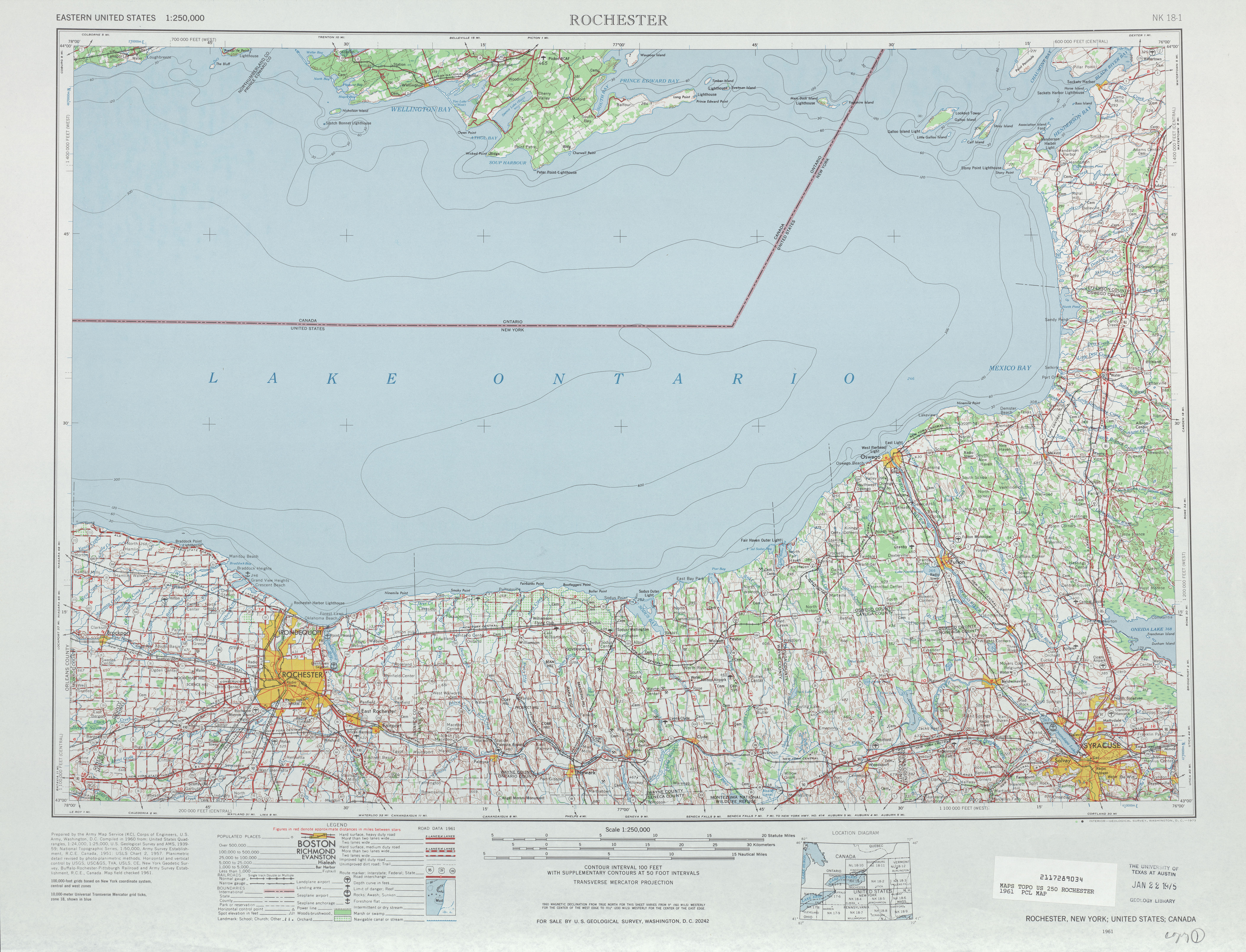
- ^ United States Geological Survey. Rochester, NY Quadrangle [map], 1:250,000, Eastern United States 1:250,000. (1961) Retrieved on 2007-11-18.
- ^ Pennsylvania Department of Highways. Official Road Map of Pennsylvania [map]. (1940) Retrieved on 2007-11-18.
- ^ Pennsylvania Department of Highways. Official Road Map of Pennsylvania [map]. (1950) Retrieved on 2007-11-18.
- ^ United States Geological Survey. Rose, NY Quadrangle [map], 1:24,000, 7.5 Minute Series (Topographic). (1978)
- ^ Rand McNally. New York [map]. (1985)

