New York State Route 33
From Wikipedia, the free encyclopedia
 |
|||||||||||||||||
| NY Route 33 |
|||||||||||||||||
| Length: | 69.26 mi[1] (111.46 km) | ||||||||||||||||
|---|---|---|---|---|---|---|---|---|---|---|---|---|---|---|---|---|---|
| Formed: | 1920s[2] | ||||||||||||||||
| West end: | |||||||||||||||||
| Major junctions: |
|||||||||||||||||
| East end: | |||||||||||||||||
| Counties: | Erie, Genesee, Monroe | ||||||||||||||||
|
|||||||||||||||||
New York State Route 33 is a New York State highway that connects Buffalo and Rochester. It is, in fact, the only state highway that directly connects both cities, although it is rarely used today for that purpose.
The western 10-mile stretch of 33, in Buffalo and the neighboring town of Cheektowaga has been upgraded into an expressway. It is of considerable local importance as it not only forms one of the major expressways leading out of downtown, it links it with the airport. As such it is often the first glimpse of Buffalo for many first-time visitors to the region.
On the Rochester end, 33 primarily serves as a paralleling local route to Interstate 490, of less importance to the area's traffic patterns. Between the two cities, it is a rural two-lane.
Contents |
[edit] Route description
33 can be subdivided not only into its limited-access and unlimited-access portions, but into sections east and west of Batavia as well.
[edit] Kensington/Martin Luther King Expressway
| Communities |
|---|
|
The highway begins as two one-way streets, East Goodell (traveling west) and East Tupper Street (traveling east), both intersecting with NY 5 (Ellicott Street) in Buffalo, and becomes the Kensington Expressway, also known as the Martin Luther King Jr. Expressway within city limits. As it travels at first through some dense urban areas, the road is cut below grade, leading to somewhat incongruous rock walls in some areas, and both roadways are separated only by a Jersey barrier.
The expressway runs past the Buffalo Museum of Science through the middle of Humboldt Parkway in Buffalo, where the Scajaquada Expressway, NY 198, leaves at the former exit for Main Street. During rush hour, particularly in the mornings when most drivers are traveling into the city, the westbound section between the Scajquada and Harlem Road (NY 240) just outside the city limit is regularly the site of Buffalo's most severe traffic jams.
East of 198, the road becomes more open as it passes through neighborhoods with a more suburban residential feel to them. Here it runs above the grade of the surrounding streets and has a grass median strip. The Bailey Avenue US 62 intersection is below the highway while the last Buffalo exit, Eggert Road, is above.
Past Harlem, the expressway curves as it prepares to meet the New York State Thruway, here a toll-free section following I-90 that runs through Cheektowaga. The exit is a full cloverleaf; however the short and busy slip lanes on the Kensington can lead careless drivers to miss the exit. Beyond, the expressway goes below grade into a concrete-walled cut as it passes its last interchange, with Union Road (NY 277), then curves under Genesee Street before joining it at a traffic light in front of the Buffalo Niagara International Airport.
[edit] Buffalo Airport to Batavia
Now returning to its pre-Kensington route, 33 follows a four-lane, divided Genesee Street past the airport on one side and numerous associated businesses such as hotels and fast food restaurants on the other. The large aerospace contractor Calspan has its headquarters here, and until 1982 Westinghouse operated a large industrial lathe plant on the airport side of the road (it was torn down when the airport was rebuilt in the late 1990s).
Beyond the airport, the divider ends and, after a short curve and minimal descent, 33 intersects Transit Road (NY 78) and enters the Town of Lancaster. After this junction, the highway becomes a two-lane route once again through the small hamlet of Bowmansville, where it crosses Ellicott Creek near some scenic rapids.
For the next several miles, 33 runs parallel to the Thruway and very close to it, with both roads visible from the other. Much of this section of Lancaster has remained rural in character; however that began to change in the late 1990s when Tops Friendly Markets, the regional supermarket chain headquartered in nearby Williamsville chose a site near the Gunnville Road intersection for a major distribution center. It necessitated the widening of the highway and construction of a traffic light and turn lanes at its entrance. Ardent local opposition claimed the increased truck traffic in and out of the site would ruin the peace and quiet of a country neighborhood located so close to a major city.
33 does, however, become a two-lane route once again as it heads out into Alden and eventually joins another state-maintained street radiating out from the city, Walden Avenue. Route 33 and the Genesee Street name take over Walden's straight, slightly north-trending course as it leaves Erie County behind. In Genesee County, its intersection with NY 77 centers the first community it encounters, the small village of Corfu. At the Batavia town line, it becomes Pearl Street, a name it keeps as it reaches the city.
[edit] Batavia to Rochester
In the knot of highways that is the Genesee County seat, 33 crosses and briefly overlaps not only NY 5, the other east-west route in town, but both north-south routes, 63 and 98.
To the east of the city, 33 splits in a northeast direction from Route 5, becoming Clinton Street, a name it holds into Rochester. It passes Genesee Community College, then, continuing its northward slant, crosses under the Thruway once again (with no exit). It remains close to the interstate for a few miles, intersecting NY 237 less than a mile north of its overpass, but then leaves it behind for good shortly thereafter as it turns even more to the north, taking it to the small village of Bergen in the county's northeast corner, where 33 crosses the long north-south route NY 19. Shortly afterwards, just west of the Monroe County line at I-490, NY 33A picks up 33's course as the main route turns to the north yet again.
Once across the county line, however, 33 returns to a more easterly orientation. As on the outskirts of Buffalo, it parallels an interstate, picking up a brief concurrency with NY 36 at Churchville and crossing NY 259 at North Chili. Another concurrency, with NY 386, comes in as the suburbs begin at Gates, where 33 finally has an exit with 490 (but not with Interstate 390 just a few miles further east).
33A completes its southern loop inside the city, and then 33 finally reaches its east end at NY 31.
[edit] History
NY 33 was signed as early as 1926 and was initially routed along its current alignment between Batavia and Rochester. West of Batavia, what is now NY 33 was unnumbered.[2] In the 1930 renumbering, NY 33 was extended west to Buffalo while the Batavia-Rochester alignment remained unchanged.[3] NY 33 was also extended eastward to Marion (mostly over modern NY 441) as part of the renumbering. Between NY 31 in Rochester and Penfield Road in Brighton, NY 33 was routed on West Main Street and East Avenue, overlapping NY 15 (now NY 96) from downtown Rochester to Brighton. Past NY 15, NY 33 followed the length of Penfield Road and Walworth-Penfield Road to Walworth, Wayne County. East of Walworth, NY 33 followed Walworth-Marion Road to Marion, where it ended at NY 21.[4]
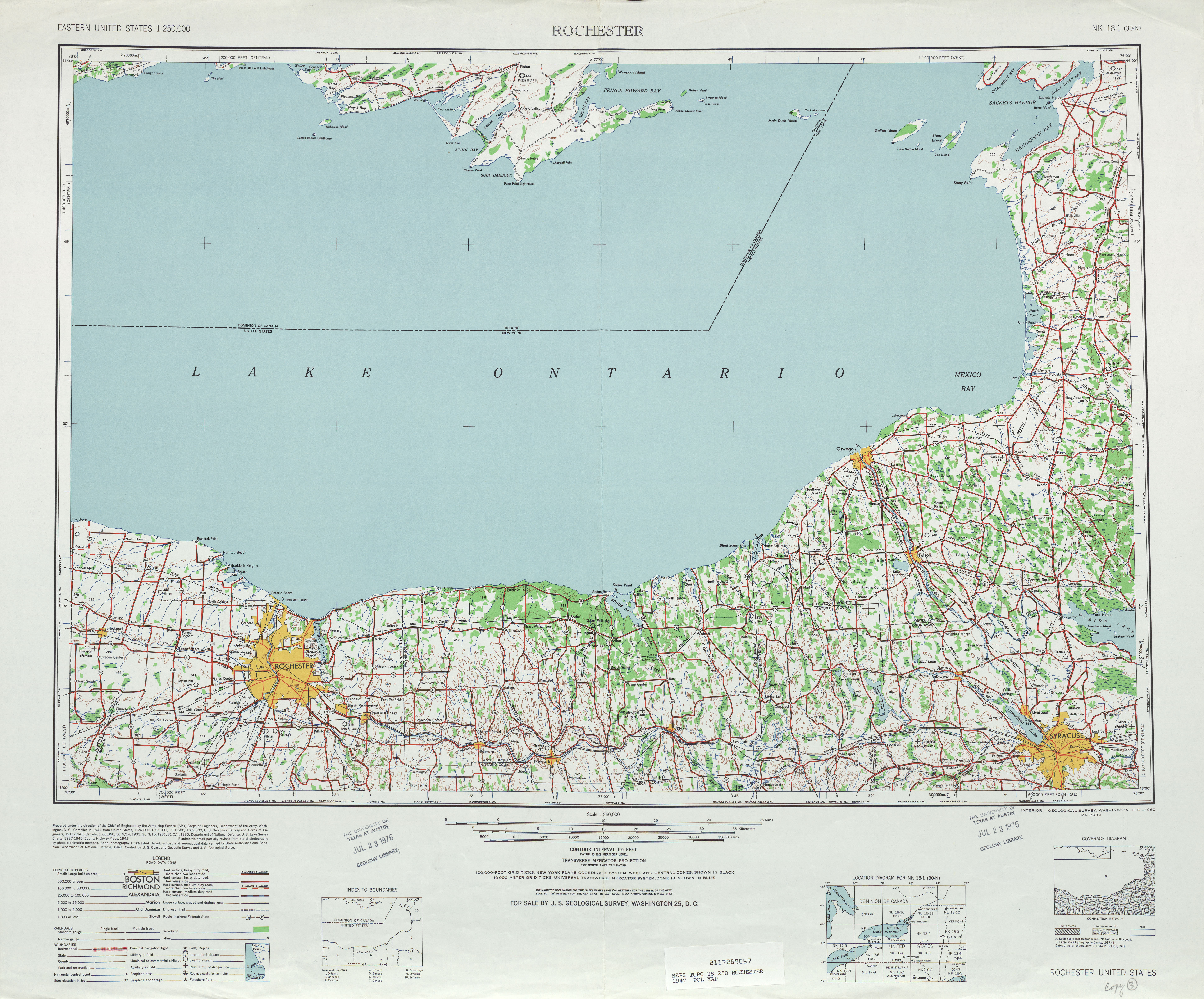
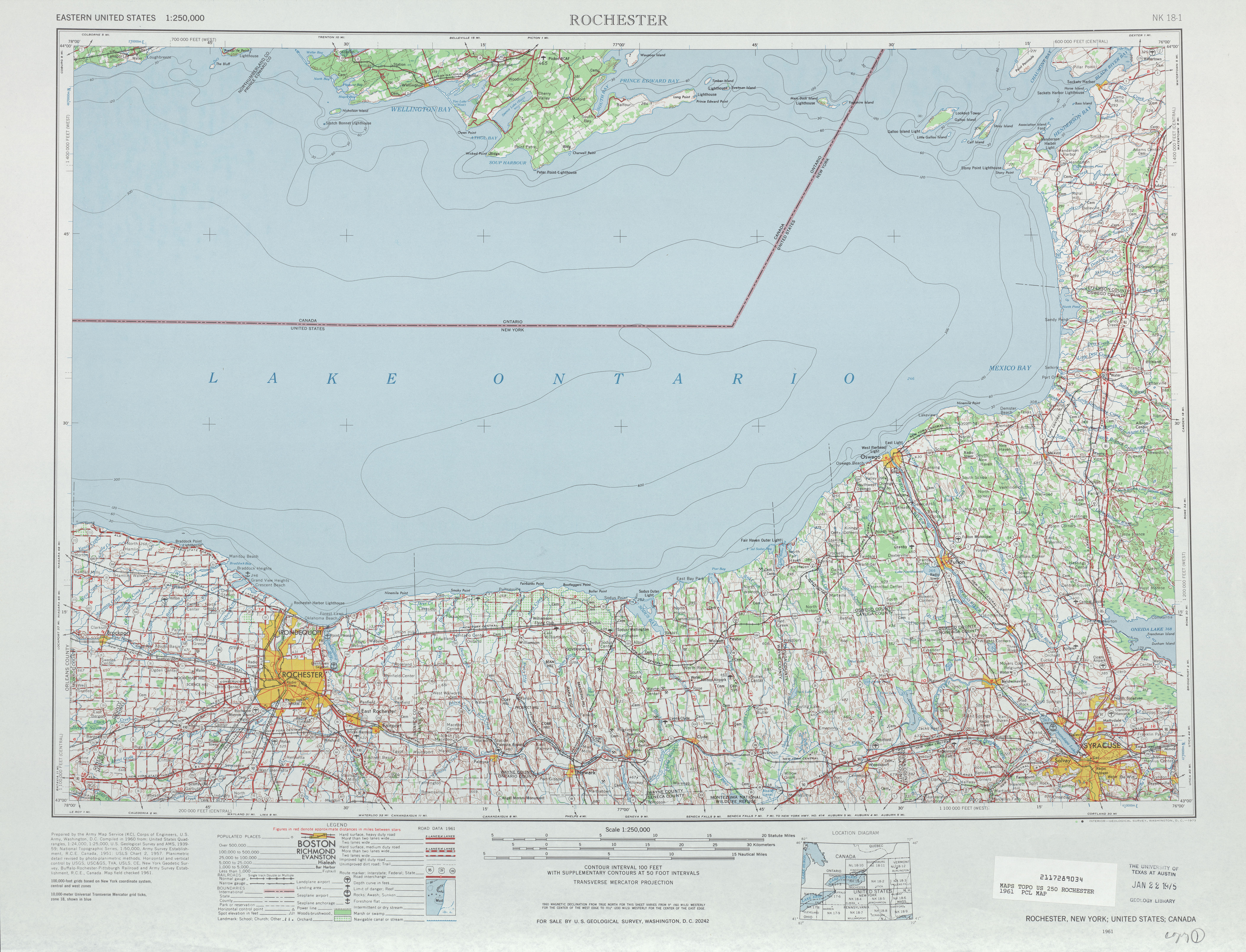
Between 1947 and 1961, NY 33 was truncated back to its current eastern terminus at NY 31 in downtown Rochester.[5][6]
[edit] Suffixed routes
NY 33 has one current alternate loop and one former spur.
- NY 33A is a current alternate route in the Rochester area commissioned and unchanged since the 1930s.
- NY 33B was a spur in the Buffalo area following Genesee Street on NY 33's former routing, prior to its current alignment onto the Kensington Expressway. It was decommissioned in the 1970s, and the section between current NY 33 and the Buffalo city line is now maintained by the state as New York State Route 952A, an unsigned reference route.[7] Prior to being assigned in Buffalo, the NY 33B designation was originally used for what is now NY 31F from Pittsford to Macedon and modern NY 350 between Macedon and Walworth.[8]
[edit] Major intersections
[edit] Kensington Expressway
| County | Location | Mile[1] | # | Destinations | Notes |
|---|---|---|---|---|---|
| Erie | Buffalo | 0.00 | At-grade intersection | ||
| 0.20 | 1A | Elm Street/Oak Street | Westbound exit, eastbound entrance | ||
| 0.87 | 1B | Jefferson Avenue | Westbound exit, eastbound entrance | ||
| 1.50 | 2 | Best Street – Buffalo Museum of Science | |||
| 2.52 | 3A | Humboldt Parkway | |||
| 2.81 | 3B | ||||
| 3.72 | 4 | Grider Street/Deerfield Avenue | |||
| 4.30 | 5A | Olympic Avenue | Eastbound exit, westbound entrance | ||
| 4.57 | 5B | Eastbound exit, westbound entrance | |||
| 4.74 | 5C | Suffolk Street | |||
| 5.32 | 6A | Eggert Road | |||
| Cheektowaga | 6.07 | 6B | |||
| 6.97 | 7 | ||||
| 7.64 | 8 | Eastbound exit, westbound entrance | |||
| 8.18 | 9 | Dick Road/Cayuga Road | Eastbound exit, westbound entrance | ||
| 8.52 | Genesee Street – Buffalo Niagara International Airport | At-grade intersection; east terminus of expressway; former eastern terminus of |
[edit] Cheektowaga to Rochester
| County | Location | Mile[1] | Roads intersected | Notes |
|---|---|---|---|---|
| Erie | Cheektowaga | 10.73 | ||
| Town of Alden | 19.52 | Walden Avenue (NY 952Q) | Eastern terminus of unsigned NY 952Q | |
| Genesee | Corfu | 25.88 | ||
| City of Batavia | 37.05 | Western terminus of overlap | ||
| 37.13 | Eastern terminus of NY 33/NY 98 overlap; western terminus of NY 5/NY 33/NY 63 overlap | |||
| 37.40 | Eastern terminus of overlap | |||
| 38.60 | Eastern terminus of overlap | |||
| Town of Bergen | 44.14 | |||
| Village of Bergen | 50.97 | |||
| 51.34 | Western terminus of NY 33A | |||
| Monroe | Churchville | 55.00 | Western terminus of overlap | |
| 55.83 | Eastern terminus of overlap | |||
| North Chili | 59.20 | |||
| Gates | 63.14 | Western terminus of overlap | ||
| 63.34 | Eastern terminus of overlap | |||
| 64.09 | Exit 7 (I-490) | |||
| Rochester | 68.34 | Eastern terminus of NY 33A. | ||
| 69.26 |
[edit] References
- ^ a b c Traffic Data Report - NY 32 to NY 55 (PDF). NYSDOT (2007-07-16). Retrieved on 2007-09-06.
- ^ a b Rand McNally Auto Road Atlas, 1926 edition. Retrieved on 2007-09-06.
- ^ Leon A. Dickinson. "New Signs for State Highways", New York Times, 1930-01-12, p. 136.
- ^ Automobile Legal Association (ALA) Automobile Green Book, 1930/31 and 1931/32 editions, (Scarborough Motor Guide Co., Boston, 1930 and 1931). The 1930/31 edition shows New York state routes prior to the 1930 renumbering
- ^ United States Geological Survey. Rochester, NY Quadrangle [map], 1:250,000, Eastern United States 1:250,000. (1947) Retrieved on 2007-11-19.
- ^ United States Geological Survey. Rochester, NY Quadrangle [map], 1:250,000, Eastern United States 1:250,000. (1961) Retrieved on 2007-11-19.
- ^ New York Routes - New York State Route 33
- ^ Automobile Legal Association (ALA) Automobile Green Book, 1938/39 edition, (W.A. Thibodeau, 1938).

