Mount McKinley
From Wikipedia, the free encyclopedia
| Mount McKinley | |
|---|---|
 Mount McKinley (also known as Denali) from Denali National Park |
|
| Elevation | 6,193.6 metres (20,320 ft)[1] |
| Location | Alaska, USA |
| Range | Alaska Range |
| Prominence | 6,138 metres (20,138 ft) Ranked 3rd |
| Coordinates | Coordinates: |
| Topo map | USGS Mt. McKinley A-3 |
| First ascent | June 7, 1913 |
| Easiest route | West Buttress Route (glacier/snow climb) |

- "Denali" redirects here. For other meanings, see Denali (disambiguation).
Mount McKinley or Denali "The High One" in Alaska is the highest mountain peak in North America, at a height of approximately 20,320 feet (6,194 m).[1] It is the centerpiece of Denali National Park.
Contents |
[edit] Notable features
Mount McKinley has a larger bulk and rise than Mount Everest. Even though the summit of Everest is about 9,000 feet (2,700 m) higher as measured from sea level, its base sits on the Tibetan Plateau at about 17,000 feet (5,200 m), giving it a real vertical rise of little more than 12,000 feet (3,700 m). The base of Mount McKinley is roughly a 2,000-foot plateau, giving it an actual rise of 18,000 feet (5,500 m).
The mountain is also characterized by extremely cold weather. A thermometer left exposed at an elevation of 15,000 feet on Mount McKinley over 19 years recorded a temperature of −100°F (−73.3°C) at some point during its exposure[citation needed]. There is also an unusually severe risk of altitude illness for climbers, due to not only its high elevation but also its high latitude.[2] At the equator, a mountain as high as Mount McKinley would have 47% as much oxygen available on its summit as there is at sea level,[3] but because of its latitude, the pressure on the summit of McKinley is even lower.[4]
[edit] Layout of the mountain
Mount McKinley has two significant summits: the South Summit is the higher one, while the North Summit has an elevation of 19,470 feet (5,934 m) and a prominence of approximately 1,320 feet (402 m). The North Summit is sometimes counted as a separate peak (see e.g., the List of United States fourteeners) and sometimes not; it is rarely climbed, except by those doing routes on the north side of the massif.
Five large glaciers flow off the slopes of the mountain. The Peters Glacier lies on the northwest side of the massif, while the Muldrow Glacier falls from its northeast slopes. Just to the east of the Muldrow, and abutting the eastern side of the massif, is the Traleika Glacier. The Ruth Glacier lies to the southeast of the mountain, and the Kahiltna Glacier leads up to the southwest side of the mountain.


[edit] Climbing history
The first recorded attempt to climb Mount McKinley was by Judge James Wickersham in 1903, via the Peters Glacier and the North Face, now known as the Wickersham Wall. This route has tremendous avalanche danger and was not successfully climbed until 1963.

Famed explorer Dr. Frederick Cook claimed the first ascent of the mountain in 1906. His claim was regarded with some suspicion from the start, but was also widely believed. It was later proved fraudulent, with some crucial evidence provided by Bradford Washburn when he was sketched on a lower peak.
In 1910, four locals (Tom Lloyd, Peter Anderson, Billy Taylor, and Charles McGonagall), known as the Sourdough expedition, attempted McKinley, despite a complete lack of climbing experience. They spent approximately three months on the mountain. However, their purported summit day was impressive: carrying a bag of doughnuts, a thermos of cocoa each and a 14-foot (4.2 m) spruce pole, two of them reached the North Summit, lower of the two, and erected the pole near the top. According to them, they took a total of 18 hours — a record that has yet to be breached (as of 2006). No one believed their success (partly due to false claims that they had climbed both summits) until the true first ascent, in 1913.
In 1912, the Parker-Browne expedition nearly reached the summit, turning back within just a few hundred yards of it due to harsh weather. In fact, that probably saved their lives, as a powerful earthquake shattered the glacier they ascended hours after they safely left it.

The first ascent of the main summit of McKinley came on June 7, 1913 by a party led by Hudson Stuck. The first man to reach the summit was Walter Harper, an Alaska Native. Harry Karstens and Robert Tatum also made the summit. Tatum later commented, "The view from the top of Mount McKinley is like looking out the windows of Heaven!"[5] They ascended the Muldrow Glacier route pioneered by the earlier expeditions, which is still often climbed today. Stuck confirmed, via binoculars, the presence of a large pole near the North Summit; this report confirmed the Sourdough ascent, and today it is widely believed that the Sourdoughs did succeed on the North Summit. However, the pole was never seen before or since, so there is still some doubt. Stuck also discovered that the Parker-Browne party were only about 200 feet (61 m) of elevation short of the true summit when they turned back.

See the timeline below for more important events in Mount McKinley's climbing history.
The mountain is regularly climbed today, with just over 50% of the expeditions successful, although it is still a dangerous undertaking. By 2003, the mountain had claimed the lives of nearly 100 mountaineers.[6] The vast majority of climbers use the West Buttress Route, pioneered in 1951 by Bradford Washburn, after an extensive aerial photographic analysis of the mountain. Climbers typically take two to four weeks to ascend the mountain.
[edit] Timeline
- 1896-1902 Surveys by Robert Muldrow, George Eldridge, Alfred Brooks.
- 1903. First attempt, by Judge James Wickersham.
- 1906. Frederick Cook falsely claims the first ascent of McKinley.
- 1910. The Sourdoughs ascend the North Summit.
- 1912. The Parker-Browne attempt almost reaches the South Summit.
 Mt. McKinley in July 2006
- 1913. First ascent by Hudson Stuck, Walter Harper, Harry Karstens, Robert Tatum.
- 1932. Second ascent, by Alfred Linley, Harry Liek, Grant Pearson, Erling Strom. (Both peaks were climbed.)
- 1947. Barbara Washburn becomes the first woman to reach the summit as her husband Bradford Washburn becomes the first to summit twice.
- 1951. First ascent of the West Buttress Route, led by Bradford Washburn.
- 1954. First ascent of the very long South Buttress Route.
- 1959. First ascent of the West Rib, now a popular, mildly technical route to the summit.
- 1961. First ascent of the Cassin Ridge, the best-known technical route on the mountain. This was a major landmark in Alaskan climbing.
- 1963. Two teams make first ascents of two different routes on the Wickersham Wall.
- 1967. First winter ascent, via the West Buttress, by Dave Johnston, Art Davidson, and Ray Genet.
- 1967. Seven members of Joe Wilcox's twelve-man expedition perish in a storm near the summit. Up to this time, this was the third worst disaster in mountaineering history in terms of lives lost.
- 1970. First solo ascent by Naomi Uemura.
- 1982. Dr. Miri Ercolani is the first woman to solo Mt. Mckinley [7]
- 1988. First solo winter ascent with safe return, by Vern Tejas.
[edit] Use of Denali and McKinley
Mount McKinley is also commonly known as Denali, which means "the great one" in the Athabaskan language, and which is also the name currently recognized by the State of Alaska. In 1896 the mountain was officially named Mount McKinley, after the former Governor of Ohio and future U.S. President William McKinley. When Denali National Park and Preserve was established by the Alaska National Interest Lands Conservation Act, December 2, 1980, the Alaska Board of Geographic Names changed the name of the mountain back to Denali. However, the U.S. Board on Geographic Names maintains McKinley, which helps visitors differentiate between the mountain and Denali National Park, where the mountain is located. Alaskans tend to use "Denali" for the park and sometimes for the mountain as well, but "McKinley" is predominantly used to refer to the mountain.[citation needed]
[edit] Weather station
The Japan Alpine Club installed a meteorological station on a ridge near the summit of Denali at an altitude of 5710 m in 1990. In 1998, this weather station was donated to the International Arctic Research Center at the University of Alaska Fairbanks. In June of 2002, a weather station was placed at the 19,000-foot level. This weather station was designed to transmit data in real-time for use by the climbing public and the science community. Since its establishment, annual upgrades to the equipment have been performed with instrumentation custom built for the extreme weather and altitude conditions. This weather station is one of only two weather stations in the world located above 18,000 feet.
[edit] Subpeaks and nearby mountains

Besides the North Summit mentioned above, other less significant features on the massif which are sometimes included as separate peaks are:
- South Buttress, 15,885 feet (4,842 m); mean prominence = 335 feet (102 m)
- East Buttress high point, 14,730 feet (4,490 m); mean prominence = 380 feet (116 m)
- East Buttress, most topographically prominent point, 14,650 feet (4,465 m); mean prominence = 600 feet (183 m)
- Browne Tower, 14,530 feet (4,429 m); mean prominence = 75 feet (23 m)
None of these peaks is usually regarded as worthwhile objectives in their own right; however they often appear on lists of the highest peaks of the United States. (Only one appears on the List of United States Fourteeners on Wikipedia.)
Nearby important peaks include:
[edit] Use in Literature
In the Twilight series of books by Stephenie Meyer, Denali is where a major coven of Vampires resides. It is also where the Cullens go after they leave Forks in the novel New Moon.
[edit] See also
[edit] References
- Jonathan Waterman, High Alaska, AAC Press, 1988.
- Dow Scoggins, Discovering Denali
- R. J. Secor, Denali Climbing Guide (Stackpole Books, 1998) ISBN 0-8117-2717-3
- Bradford Washburn et al, Mount McKinley: The Conquest of Denali (Harry N. Abrams, Inc., 1991) ISBN 0-8109-3611-9
- Colby Coombs and Bradford Washburn, Denali's West Buttress: A Climber's Guide to Mount McKinley's Classic Route
- Jonathan Waterman, Surviving Denali: A Study of Accidents on Mount McKinley 1903-1990 (American Alpine Club, 1991)
- Jonathan Waterman, In the Shadow of Denali: Life and Death on Alaska's Mt. McKinley (1994)++
- Kaye, G. D., Using GIS to estimate the total volume of Mauna Loa Volcano, Hawaii, 98th Annual Meeting, Geological Society of America, (2002).
- Art Davidson, Minus 148°: First Winter Ascent of Mt. McKinley, 7th ed. (Mountaineers Books, 2004) ISBN 0-89886-687-1
- Hudson Stuck, D.D., Archdeacon of the Yukon, The Ascent of Denali, The 1913 Expedition that First Conquered Mt. McKinley, ((reprinted by) Wolfe Publishing Co., 1988) ISBN 0-935632-69-7
[edit] Notes
- ^ a b Elevations and Distances in the United States. U.S Geological Survey (29 April 2005). Retrieved on November 9, 2006.
- ^ Denali information at the 7summits website
- ^ An interactive high altitude pressure model
- ^ Ward, Milledge and West, High Altitude Medicine and Physiology, 2002.
- ^ Coombs 1997
- ^ Glickman, Joe, Man Against the Great One, New York Times, 24 August 2003
- ^ http://www.nps.gov/dena/planyourvisit/climbinghistory.htm.<ref>
- 1984. Uemura returns to make the first winter solo ascent, but dies after summitting. Tono Križo, František Korl and Blažej Adam from the [[Slovakia|Slovak]] Mountaineering Association climb a very direct route to the summit, now known as the Slovak Route, on the south face of the mountain, to the right of the Cassin Ridge.<ref name="aaj_1985">''American Alpine Journal'', 1985, p. 174.</li></ol></ref>
[edit] External links
- Mt. Mckinley Weather Station
- SummitPost: Photos
- NOVA: Deadly Ascent
- Denali (Mount McKinley) on Bivouac.com
- Photos of an expedition on Mount McKinley
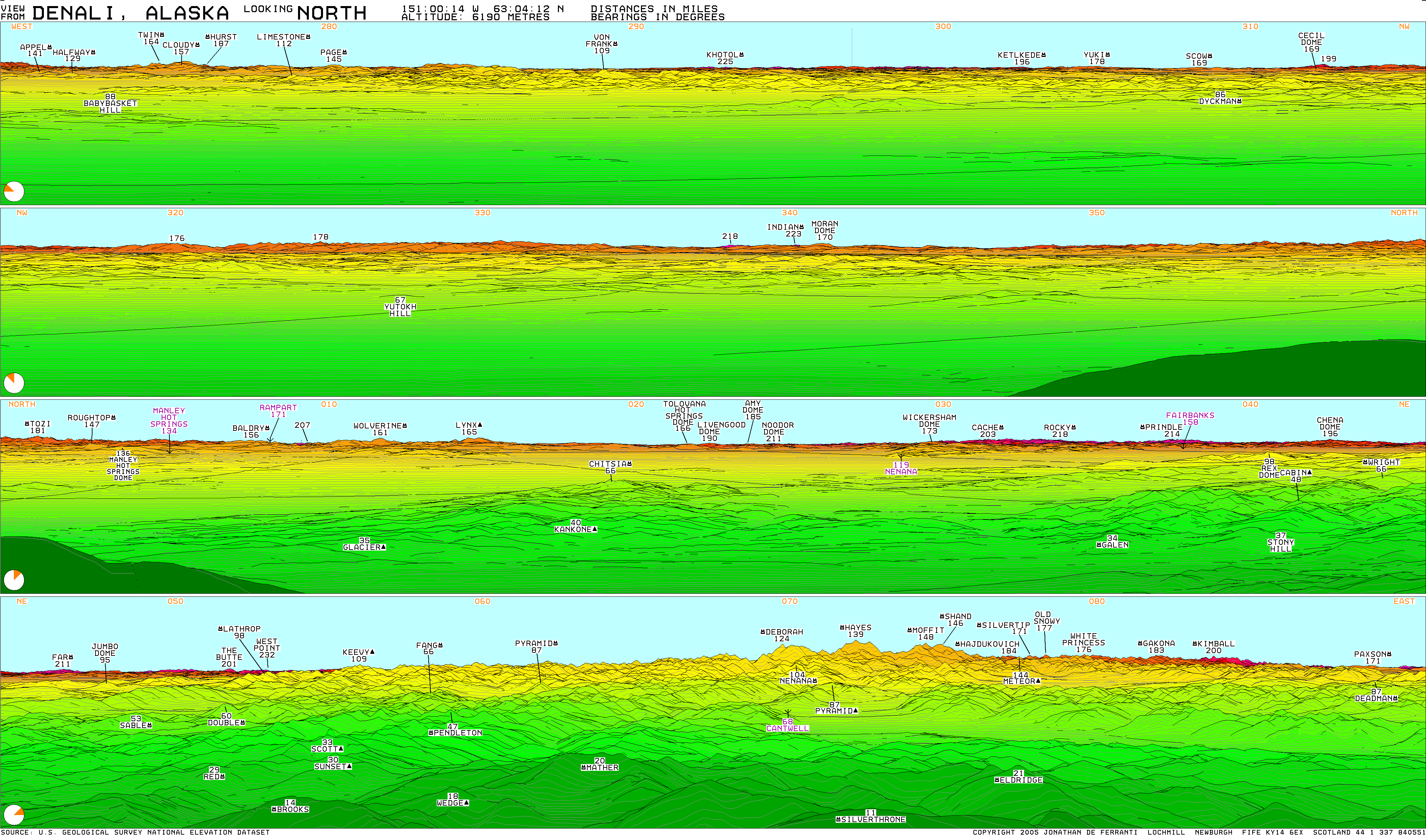
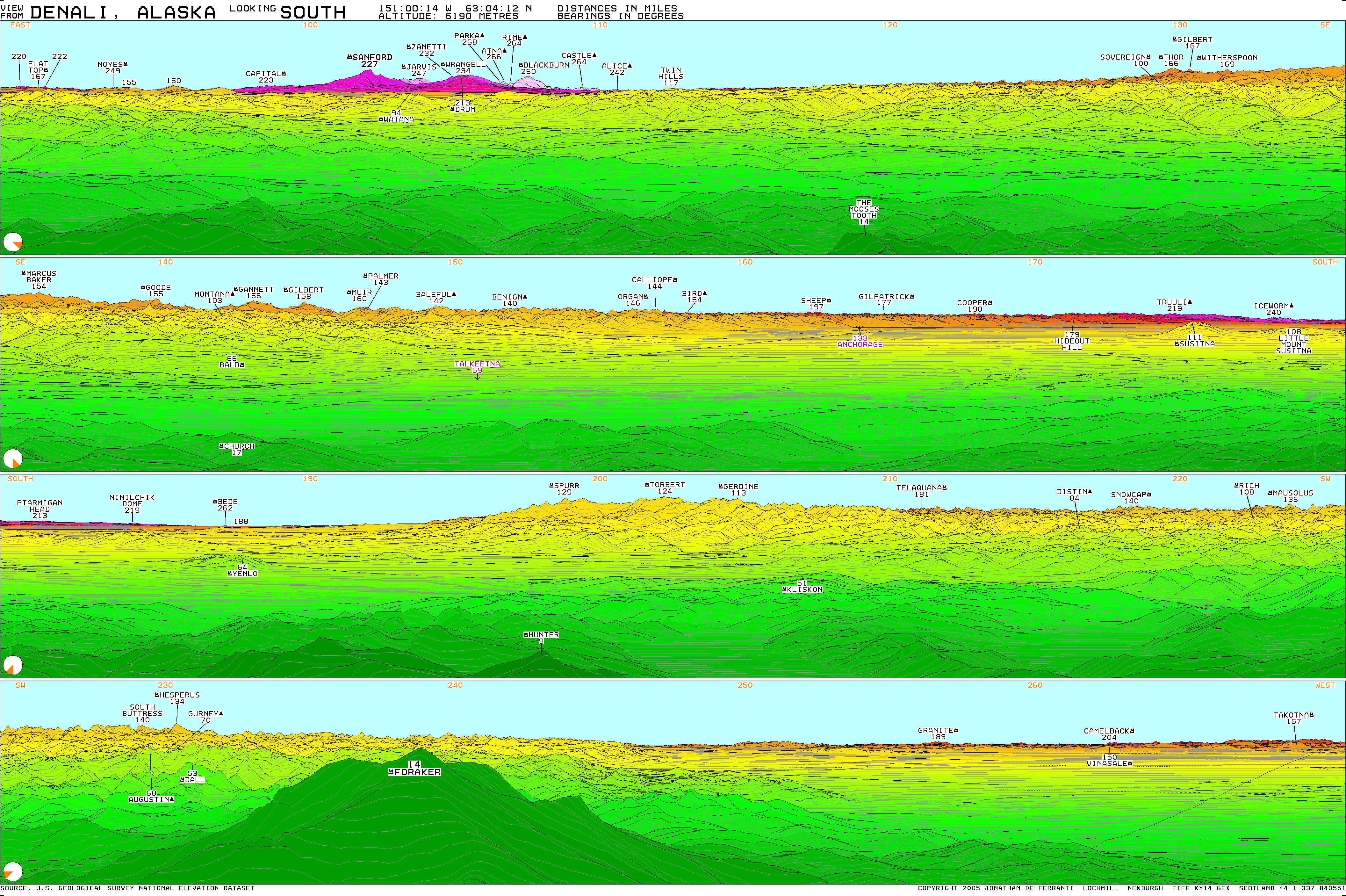
- Computer generated summit panoramas North South Index
- Denali, the summit of North America, 7summits.com
- H.R. 198: A bill to provide for the retention of the name of Mount McKinley (introduced to the 110th Congress by Rep. Regula)
- Timeline of Denali climbing history, National Park Service
- Wilson, Rodman, William J. Mills, Jr., Donald R. Rogers and Michael T. Propst, "Death on Denali: Fatalities Among Climbers in Mount McKinley National Park From 1903 to 1976—Analysis of Injuries, Illnesses and Rescues in 1976," Western Journal of Medicine, 1978 June; 128(6): 471–476.
- Rodway, George W., "Paul Crews' "Accident on Mount McKinley"—A Commentary," Wilderness and Environmental Medicine: Vol. 14 (2003), No. 1, pp. 33–38.
- Freedman, Lew,"Dangerous Steps: Vernon Tejas and the Solo Winter Ascent of Mount McKinley", Stackpole, 1990.
- A homeshot panorama of Mount McKinley
|
|||||
|
|||||

