Talk:Moray
From Wikipedia, the free encyclopedia
[edit] Article focus
The map matches GBcounties.gif from the ABC rather closely. Does that contain the innaccuracy too? Morwen 20:55, Jan 27, 2004 (UTC)
- The map that purports to show the "historic county" actually more accurately shows the former administrative county (created 1889), and the current registration county (of the same boundaries).
- The historic county contains a very considerable detached portion* (a good 1/4 of the size of the rump of the county).
- ABC have, for reasons unknown to me, shown this as part of Inverness, and the not inconsiderable part of Inverness the borders it to the north-east as part of moray.
-
- this is, in fact, 2 portions, with a very small slither of nairnsh. between them, but that is hair-splitting!
- I see. Well, my 'master' map is at http://cryosphere.net/~morwen/tradhugescot.png If you could indicate the corrections required (or even point me to a more accurate map) I'd be happy to make them and reupload all the maps. Morwen 21:11, Jan 27, 2004 (UTC)
-
- What was this based on (if anything), out of interest? It shows the 1889-1975 admin counties, with the addition of cromartyshire, which I presume you added from the map I made for the cromartyshire article, given away by the fact that there is a noticable error in it which I have since realised (I would have corrected it, although there seems little point if it's going to be surrounded by rubbish about "former counties"). Consequently, it does not accurately show several of the traditional counties.
- As a matter of fact, I have created a large scale, detailed map of the scottish counties, although I should doubt that I could be persuaded to let wikipedia use in the current POV anti-traditional-county, anti-factual-information climate you have instigated. Were you to tone down the tyranny, on the other hand, I would be quite happy to amend your map/provide a more accurate one.
- Incidentally, I'm pretty sure that Loch Lomond lies within Dumbartonshire, and not, as in your map, Stirlingshire. 80.255
-
-
- I'm afraid you couldn't licence the image only for use in encyclopedias that agreeing with your point of view. GFDL prohibits such use qualifications. Morwen 23:08, Jan 27, 2004 (UTC)
-
-
-
-
- I have no intention of releasing the image at present (particularly if doing so would open it to potential modification by all and sundry). However, I am toying with the idea of creating a website with detailed maps of all British counties (along with the correct, NPOV facts relating to them that you are so determined to keep out of the website), and, when this has done, you might want to have a look and amend your own maps accordingly. Until such a time, however, I would suggest that the your maps, declared as "traditional counties" are labeled 1889-1975 administrative counties (legally, that was their status) or, even better, registration counties .They're very good maps of these areas (details notwithstanding); simply not of the traditional counties.
- I'm supprised no ariticle exists on registration counties, being as they are current, official, administrative units! The map on the traditiona counties of scotland page (minus cromartysh.) could doubtless be put to another use in such an article. 80.255.
-
-
-
-
-
-
- The maps match what the ABC claim to be traditional counties on their map, and you've yet to provide a single piece of evidence they are wrong. Of course, labelled them 1889-1975 counties would be just as wrong, because no post-1889 map would show the 'ancient and geographical' (hehe, 200 years old and dozens of enclaves) county of Cromartyshire. Morwen 07:17, Jan 28, 2004 (UTC)
-
-
-
- On another note, given both the difference in name and huge difference in area, I fail to see why both the council district of "Moray" and the traditional county of Morayshire (and the former adminsitrative county and current registration county) should share the same article. They are completely different entities, and you could not possibly say that one "evolved" into the other.
I can see a continuity of history from county to district to unitary council area, just as I can in the histories of eg Aberdeen City and the City of Edinburgh (which were 'counties of cities' prior to boundary changes and redesignation as districts in 1975). Also, a lot of the content of "County of Moray" overlaps content in "Moray" and, at present, it can be difficult to decide to which article to point a district-related link in some other article. Laurel Bush 11:01, 5 September 2006 (UTC).
- I think its inevitable that overlaps in content will happen because of the common areas of the historical county and the present council area. District related links I would have thought be pointed at the Moray article since the criteria for editing was stated at the top of the page i.e. This article is about the Moray council area created in 1996, and the Moray district of the Grampian region, 1975 to 1996 --Billreid 17:16, 6 September 2006 (UTC)
I believe it was myself who made the ref to the district at the top of the page. Nontheless, I do tend to feel that county, district and unitary council area should be the subject of a single article. Laurel Bush 09:58, 7 September 2006 (UTC).
- Tend to agree. --Mais oui! 00:33, 9 September 2006 (UTC)
[edit] Infoboxing
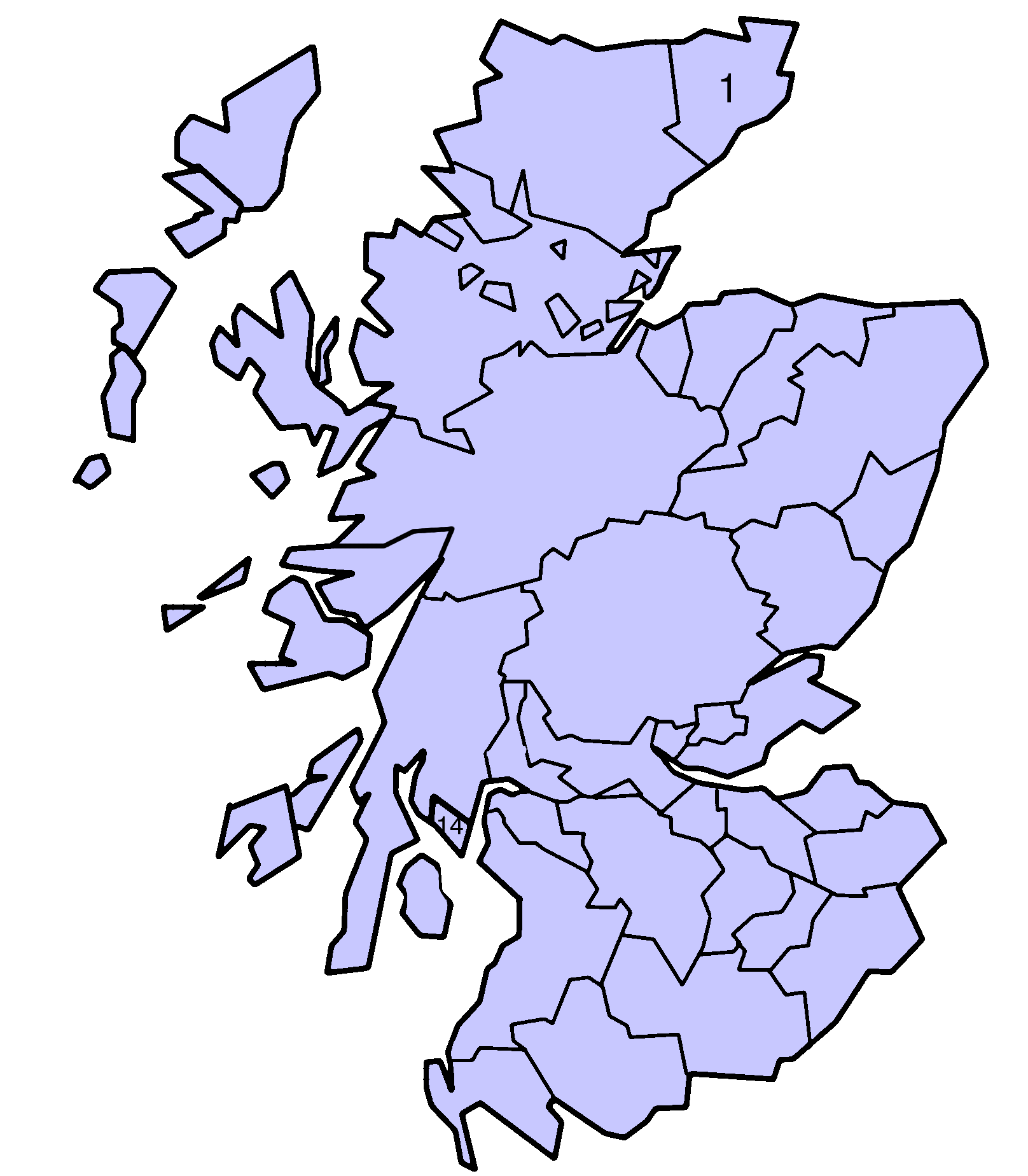
 |
| Moray Shown as one of the council areas of Scotland |
Thinking it might be a good idea to put the map in a separate box at the top of the page, eg as shown right. Laurel Bush 09:51, 5 September 2006 (UTC).

