Image:Mississippi River Lock and Dam number 14.jpg
From Wikipedia, the free encyclopedia
Size of this preview: 800 × 534 pixels
Full resolution (1,500 × 1,001 pixels, file size: 342 KB, MIME type: image/jpeg)
| | This is a file from the Wikimedia Commons. The description on its description page there is shown below.
|
| Description |
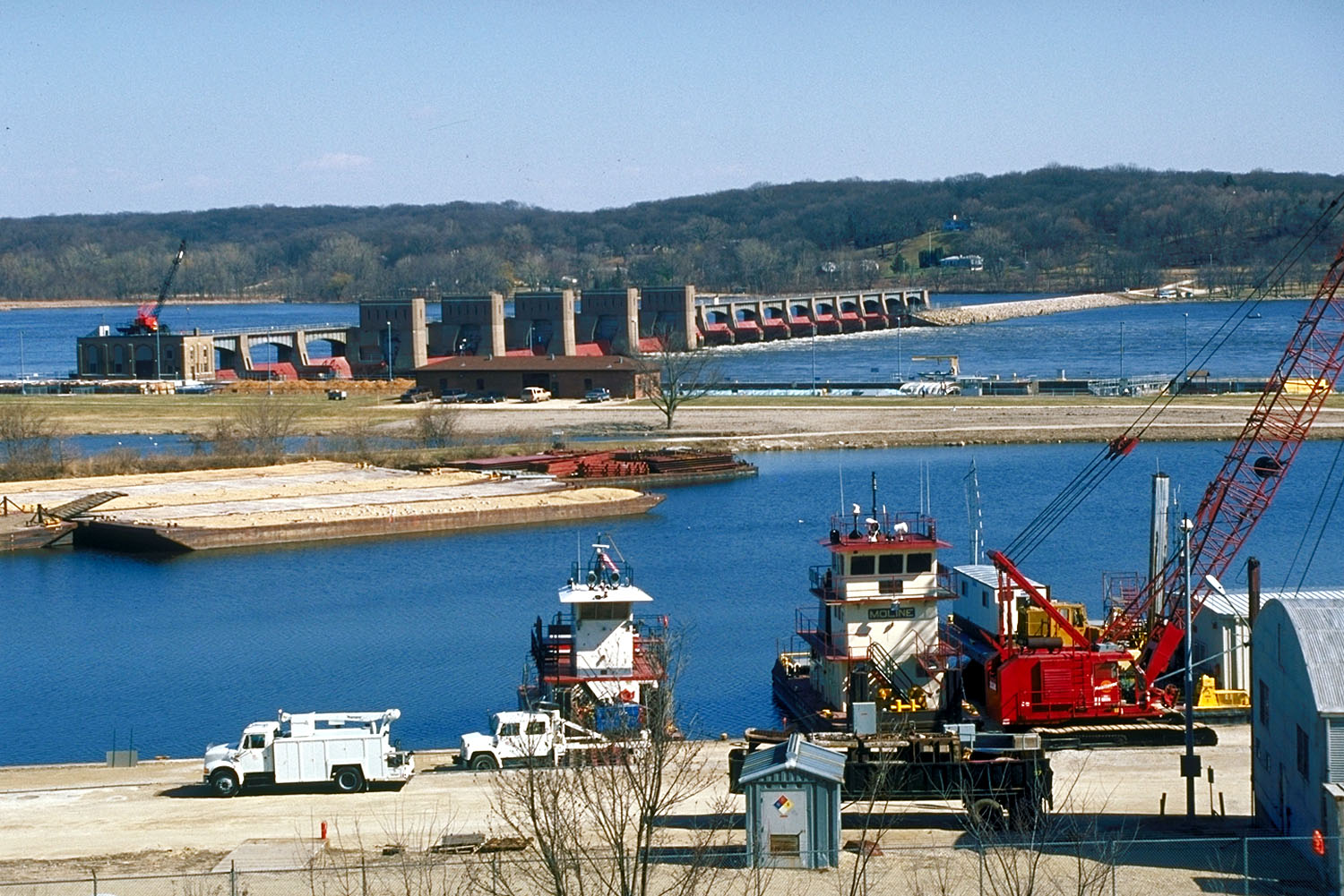
Aerial view of Lock and Dam 14 located on the Mississippi River, Le Claire, Iowa. |
|||
|---|---|---|---|---|
| Source |
US Army Corps of Engineers Digital Visual Library (DVL) |
|||
| Date |
01 September 1990 |
|||
| Author |
US Army Corps of Engineers, photographer unknown |
|||
| Permission (Reusing this image) |
|
| Camera location | This and other geocoded Commons images: | (Info) |
|---|
File history
Click on a date/time to view the file as it appeared at that time.
| Date/Time | Dimensions | User | Comment | |
|---|---|---|---|---|
| current | 17:21, 16 February 2007 | 1,500×1,001 (342 KB) | Dual Freq | ({{Information | Description = Aerial view of Lock and Dam 14 located on the Mississippi River, Le Claire, Iowa. | Source = [http://images.usace.army.mil/main.html US Army Corps of Engineers Digital Visual Library (DVL)]<br /> [http://images.usace.ar) |
File links
The following pages on the English Wikipedia link to this file (pages on other projects are not listed):

