Image:Lancaster County, PA.PNG
From Wikipedia, the free encyclopedia
Size of this preview: 723 × 600 pixels
Full resolution (851 × 706 pixels, file size: 292 KB, MIME type: image/png)
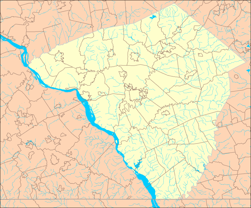
Map of Lancaster County, PA showing political boundaries and streams. Made by User:Ruhrfisch from U.S. Census Bureau maps at [1] (U.S. Government work is PD, my modifications licensed under the GFDL). Map made October 3, 2006. This is an initial version - the final version will go on Commons.
 |
Permission is granted to copy, distribute and/or modify this document under the terms of the GNU Free Documentation License, Version 1.2 or any later version published by the Free Software Foundation; with no Invariant Sections, no Front-Cover Texts, and no Back-Cover Texts. Subject to disclaimers. |
File history
Click on a date/time to view the file as it appeared at that time.
| Date/Time | Dimensions | User | Comment | |
|---|---|---|---|---|
| current | 01:47, 4 October 2006 | 851×706 (292 KB) | Ruhrfisch (Talk | contribs) | (Map of Lancaster County, PA showing political boundaries and streams. Made by User:Ruhrfisch from U.S. Census Bureau maps at [http://factfinder.census.gov] (U.S. Government work is PD, my modifications licensed under the GFDL). Map made October 3,) |
- Search for duplicate files
- Edit this file using an external application
See the setup instructions for more information.
File links
The following pages on the English Wikipedia link to this file (pages on other projects are not listed):

