Image:Lake lanier satellite map.jpg
From Wikipedia, the free encyclopedia
Size of this preview: 401 × 599 pixels
Full resolution (669 × 1,000 pixels, file size: 137 KB, MIME type: image/jpeg)
| | This is a file from the Wikimedia Commons. The description on its description page there is shown below.
|
| Description |
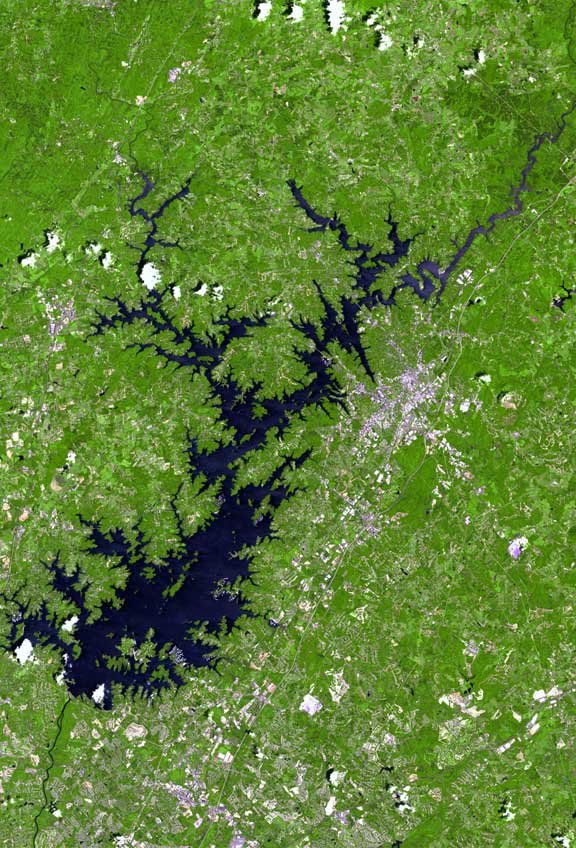
The raw satellite imagery shown in these images was obtain from NASA and/or the US Geological Survey. Post-processing and production by http://www.terraprints.com |
|---|---|
| Source | |
| Date |
20061025 |
| Author | |
| Permission (Reusing this image) |
Attribution 2.5 |
| This file is licensed under Creative Commons Attribution 2.5 License In short: you are free to distribute and modify the file as long as you attribute its author(s) or licensor(s). |
File history
Click on a date/time to view the file as it appeared at that time.
| Date/Time | Dimensions | User | Comment | |
|---|---|---|---|---|
| current | 18:36, 25 October 2006 | 669×1,000 (137 KB) | Terraprints | ({{Information |Description=The raw satellite imagery shown in these images was obtain from NASA and/or the US Geological Survey. Post-processing and production by http://www.terraprints.com |Source=http://www.terraprints.com |Date=20061025 |Author=http://) |
File links
The following pages on the English Wikipedia link to this file (pages on other projects are not listed):

