Kano State
From Wikipedia, the free encyclopedia
| Kano State State nickname: Centre of Commerce |
||
| Location | ||
|---|---|---|
 |
||
| Statistics | ||
| Date Created | May 27, 1967 | |
| Capital | Kano | |
| Official language | English | |
| Area | 20,131km² Ranked 20th of 36 |
|
| Population - 2006 Census¹ - 1991 Census - Density (2006) |
Ranked 1st of 36 9,383,682 5,632,040 466/km² |
|
| Current Governor Previous Governors |
Ibrahim Shekarau (ANPP) | |
| Senators | Aminu Sule Garo (ANPP) Mohammed Adamu Bello (ANPP) Kabiru Ibrahim Gaya (ANPP) |
|
| Representatives | List | |
| ISO 3166-2 | ||
| Website | kanostate.net | |
| ¹ Preliminary results | ||
Kano State is a state located in North-Western Nigeria. Created on May 27, 1967 from part of the Northern Region, Kano state borders Katsina State to the north-west, Jigawa State to the north-east, and Bauchi and Kaduna states to the south. The capital of Kano State is Kano.
The state originally included Jigawa State which was made a separate state in 1991.
Contents |
[edit] Local Government Areas
The state is home to 44 Local Government Areas (LGAs):
|
|
[edit] Economy and society
Historically, Kano State has been a commercial and agricultural state, which is known for the production of groundnuts as well as for its solid mineral deposits. The state has more than 18,684 square kilometres of cultivable land and is the most extensively irrigated state in the country.
Kano State has in recent years being a centre of religious and ethnic violence in Nigeria. It also opposed the polio vaccination programme.
Foreign investments and investors can be seen all over the city. It is arguably within the first five states in terms of commercial activity within Nigeria. Kano also has traditionally received the largest proportion of centrally collected (mostly oil) revenues. From 1990-96 Kano received 10.9% of allocated revenue. In contrast, the next highest state was Sokoto State, receiving 3.5%, with Abuja, Lagos State, and Akwa Ibom State receiving 3.2% each.[1]
Kano's once booming manufacturing sector has been stagnant over the last 15 years. Largely due to epileptic power supply. Plans are being considered to build a Nuclear Power Station in the North-Eastern region of Nigeria. The plant is to be fueled from Uranium mined in neighbouring Gombe state and supplied over a rail network.
[edit] Languages
The official language of Kano State is English but the Hausa language is commonly spoken.
[edit] Population
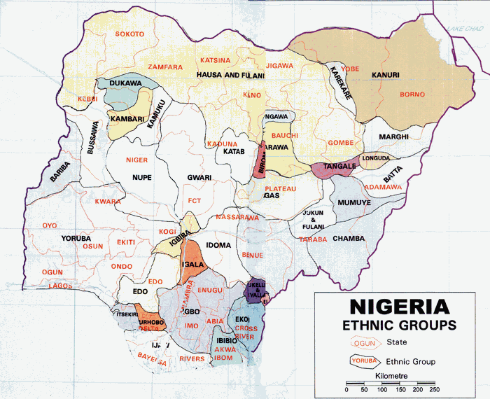
According to the latest census figures from Nigeria Kano State has a population totalling 9,383,682. The credibility of the census has been disputed most noticeably by Gani Fawehinmi-a Lagos based advocate and activist.[2] The state is mostly populated by Hausa people.[3]
[edit] See also
[edit] References
- ^ Urban Policy in the New Scotland: The Role of Social Inclusion Partnerships - Space and Polity
- ^ [1]
- ^ http://www.onlinenigeria.com/map.gif
[edit] External links
|
|||||||

