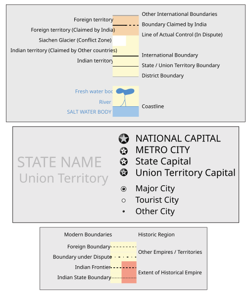
Image:Jammu and Kashmir locator map.svg
From Wikipedia, the free encyclopedia
Jammu_and_Kashmir_locator_map.svg (SVG file, nominally 2160 × 1696 pixels, file size: 211 KB)
File history
Click on a date/time to view the file as it appeared at that time.
| Date/Time | Dimensions | User | Comment | |
|---|---|---|---|---|
| current | 18:00, 9 April 2007 | 2,160×1,696 (211 KB) | PlaneMad | ({{WikiProject_India_Maps |Title=Jammu and Kashmir locator map |Description=Locator map for the state of [w:Jammu and Kashmir]] |Source= [http://www.koausa.org/Nature/maps.html Map of Kashmir], |Date=April 2007 |Author=w:user:Planemad }} [[Category:W) |
File links
The following pages on the English Wikipedia link to this file (pages on other projects are not listed):
- Srinagar
- Leh
- Kathua
- Anantnag district
- Baramulla district
- Gulmarg
- Katra, Jammu and Kashmir
- Template:Infobox Indian Jurisdiction
- Udhampur
- Uri (India)
- Doda
- Baramulla
- Pulwama
- Kargil town
- Poonch District (J&K)
- Anantnag
- Arnia
- Badgam
- Banihal
- Hajan
- Hiranagar
- Kishtwar
- Kud
- Kulgam
- Magam
- Pahalgam
- Qazigund
- Rajauri
- Reasi
- Shupiyan
- Topa
- Tral
- Poonch
- Template:Infobox Indian Jurisdiction/doc
- Ramnagar, Udhampur
- Sumbal, Jammu and Kashmir
- Template:Infobox Indian Jurisdiction/Sandbox
- Pattan, Baramula district
- Ramban (Jammu and Kashmir)
- Samba, Jammu
- Template:Infobox Indian Jurisdiction/Examples/city
- Template:Infobox Indian Jurisdiction/Sandbox/doc
- User:Notinasnaid/Sandbox2
- User:Notinasnaid/Sandbox2/doc
- User:सुभाष राऊत/temp


