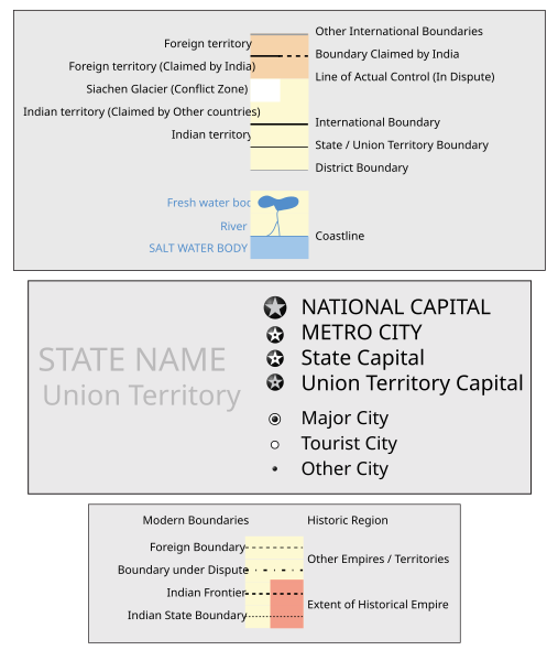
Image:India West Bengal locator map.svg
From Wikipedia, the free encyclopedia
India_West_Bengal_locator_map.svg (SVG file, nominally 1639 × 1852 pixels, file size: 798 KB)
File history
Click on a date/time to view the file as it appeared at that time.
| Date/Time | Dimensions | User | Comment | |
|---|---|---|---|---|
| current | 16:45, 8 October 2006 | 1,639×1,852 (798 KB) | PlaneMad | |
| 18:49, 6 August 2006 | 1,639×1,852 (751 KB) | PlaneMad | ({{WikiProject_India_Maps |Title=West Bengal locator map |Description=Locator map of the state of West Bengal, India with district boundaries |Source=. |Date=August 6 2006 |Author=w:user:Nichalpw:user:Planemad |Thumbdir=0/04 }} ) |
File links
The following pages on the English Wikipedia link to this file (pages on other projects are not listed):
- West Bengal
- Kolkata
- Darjeeling
- Kalimpong
- Dum Dum
- Santiniketan
- Howrah, India
- Asansol
- Murshidabad
- Bankura district
- Kharagpur
- Siliguri
- Narendrapur
- Sundarbans National Park
- Lava (town)
- Barasat
- Chandannagar
- Bardhaman
- Barrackpore
- Tamluk
- Durgapur, West Bengal
- Serampore
- Darjeeling district
- Haldia
- Midnapore
- Mayapur
- Bhatpara
- Adra (India)
- Jalpaiguri
- Cooch Behar district
- Naxalbari
- Birbhum district
- Dakshineswar
- Hugli-Chuchura
- Palashi
- Purulia
- Halisahar
- Batanagar
- Panihati
- Khardaha
- Balurghat
- Madhyamgram
- Hridaypur
- Diamond Harbour
- Budge Budge
- Nungi
- North 24 Parganas district
- Kamarhati
- Gaur, West Bengal
- Bangaon
- Ichapore
- Jalpaiguri district
- Bakreshwar
- Jhargram
- Shantipur
- Ranaghat
- Kalna
- Katwa
- Suri, Birbhum
- English Bazar
- Ghatal
- Basirhat
- Habra
- Gobardanga
- Naihati
- Raiganj
- Islampur (Uttar Dinajpur)
- Barakar
- Gorumara National Park
- Uttarpara
- Singalila National Park
- Neora Valley National Park
- Bankura
- Baharampur
- Alipurduar
- Kurseong
- Mirik
- Pedong
- Algarah
- Krishnanagar, Nadia
- Jahangirpur, Murshidabad
- Panagarh
- Petrapole
- Baranagar
- Bishnupur (Bankura)
- Geography of West Bengal
- Jagatdal
- Durganagar
- Jaigaon
- Tehatta
- Digha
- Hasimara
- Binnaguri
- Neamatpur
- Khatra
- Rampurhat
- Burnpur
- Ghum, West Bengal
- Memari
- Bolpur
View more links to this file.


