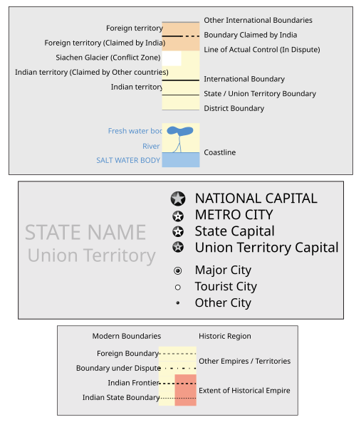
Image:India Gujarat locator map.svg
From Wikipedia, the free encyclopedia
India_Gujarat_locator_map.svg (SVG file, nominally 1639 × 1852 pixels, file size: 751 KB)
File history
Click on a date/time to view the file as it appeared at that time.
| Date/Time | Dimensions | User | Comment | |
|---|---|---|---|---|
| current | 17:34, 6 August 2006 | 1,639×1,852 (751 KB) | PlaneMad | ({{WikiProject_India_Maps |Title=Gujarat locator map |Description=Locator map of the state of Gujarat, India with district boundaries. |Source=. |Date=August 6 2006 |Author=w:user:Nichalpw:user:Planemad |Thumbdir=CHANGE }}) |
File links
The following pages on the English Wikipedia link to this file (pages on other projects are not listed):
- Gujarat
- Gandhinagar
- Ahmedabad
- Surat
- Porbandar
- Vadodara
- Nadiad
- Ankleshwar
- Bharuch
- Alang
- Dahod
- Godhra
- Junagadh
- Saurashtra (region)
- Rajkot
- Dwarka
- Kandla
- Bopal
- Mehsana
- Kheda
- Bhavnagar
- Patan, Gujarat
- Anjar, India
- Limbdi
- Jamnagar
- Dakor
- Dholka
- Valsad
- Vallabh Vidhyanagar
- Mandvi
- Idar
- Anand, Gujarat
- Rajpipla
- Vapi
- Modasa
- Khambhat
- Palitana
- Palanpur
- Umreth
- Sinugra
- Malpur
- Bhachau
- Himatnagar
- Dabhoi
- Morvi
- Gandhidham
- Amreli
- Navsari
- Vadodara district
- Vasad
- Bardoli
- Gondal (India)
- Dhrangadhra
- Radhanpur
- Padra
- Sanand
- Saputara
- Pardi
- Bhadran
- Veraval
- Madhapar
- Manavadar
- Sun Temple, Modhera
- Kutiyana
- Borsad
- Adalaj
- Bhanvad
- Bhayavadar
- Bilimora
- Botad
- Chaklasi
- Chalala
- Chanasma
- Chhota Udaipur
- Dahegam
- Damnagar
- Dhandhuka
- Dhanera
- Dhola, India
- Dhoraji
- Gadhada
- Gandevi
- Gariadhar
- Ghogha
- Halol
- Halvad
- Harij
- Jam Jodhpur
- Jambusar
- Jasdan
- Kalavad
- Kalol
- Kanodar
- Kapadvanj
- Keshod
- Khedbrahma
- Kheralu
- Kosamba
- Mahemdavad
- Mahudha
View more links to this file.


