Image:El salvador map.png
From Wikipedia, the free encyclopedia
No higher resolution available.
El_salvador_map.png (634 × 324 pixels, file size: 10 KB, MIME type: image/png)
| | This is a file from the Wikimedia Commons. The description on its description page there is shown below.
|
 |
This map image should be recreated using vector graphics as an SVG file. This has several advantages; see Commons:Media for cleanup for more information. If an SVG form of this image is already available, please upload it. After uploading an SVG, replace this template with template {{Vector version available|new image name.svg}} in this image. |
|
العربية | Български | Català | Česky | Dansk | Deutsch | English | Esperanto | Español | Français | 한국어 | Italiano | Magyar | Lietuvių | Nederlands | 日本語 | Polski | Português | Română | Русский | Suomi | Svenska | Türkçe | Українська | Tiếng Việt | मराठी | 中文(繁體) | 中文(简体) | +/- |
|
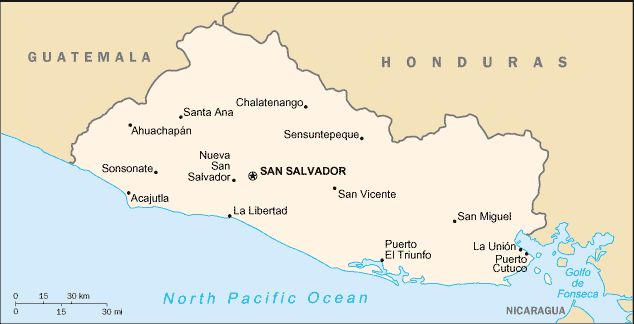
from [1] Source: en:Image:El salvador sm04.png
| This image is in the public domain because it contains materials that originally came from the United States Central Intelligence Agency's World Factbook.
Deutsch | English | Español | Français | 日本語 | Nederlands | 한국어 | Português | தமிழ் | Magyar | +/- |
 |
File history
Click on a date/time to view the file as it appeared at that time.
| Date/Time | Dimensions | User | Comment | |
|---|---|---|---|---|
| current | 21:27, 27 March 2006 | 634×324 (10 KB) | ~Pyb | (from [http://www.lib.utexas.edu/maps/cia04/el_salvador_sm04.gif] Source: en:Image:El salvador sm04.png {{PD-USGov-CIA-WF}} ) |
File links
The following pages on the English Wikipedia link to this file (pages on other projects are not listed):


![[1]](http://www.lib.utexas.edu/maps/cia04/el_salvador_sm04.gif)