Image:Blaengwrach in 2006.jpg
From Wikipedia, the free encyclopedia
No higher resolution available.
Blaengwrach_in_2006.jpg (640 × 480 pixels, file size: 56 KB, MIME type: image/jpeg)
| | This is a file from the Wikimedia Commons. The description on its description page there is shown below.
|
| Description |
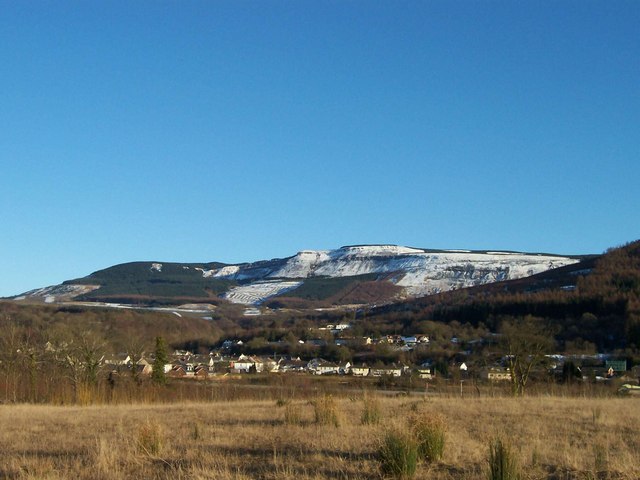
Original description: Looking across the A465 to the village of Blaengwrach View of Blaengwrach with Craig-Y-Llyn behind. |
|---|---|
| Source |
From geograph.org.uk |
| Date |
Saturday, 4 March, 2006 |
| Author | |
| Permission (Reusing this image) |
Creative Commons Attribution Share-alike license 2.0 |
| Camera location |
|
Google Maps - Live Maps - Trails.com - TerraServer-USA |
|---|
| This image was taken from the Geograph project collection. See this photograph's page on the Geograph website for the photographer's contact details. The copyright on this image is owned by David Gentle and is licensed for reuse under the Creative Commons Attribution-ShareAlike 2.0 license. |
| This file is licensed under Creative Commons Attribution ShareAlike 2.0 License (cc-by-sa-2.0). In short: you are free to share and make derivative works of the file under the conditions that you appropriately attribute it, and that you distribute it under this or a similar cc-by-sa license. |
File history
Click on a date/time to view the file as it appeared at that time.
| Date/Time | Dimensions | User | Comment | |
|---|---|---|---|---|
| current | 07:37, 17 May 2008 | 640×480 (56 KB) | Edward | ({{Information |Description=w:Blaengwrach Original description: '''Looking across the A465 to the village of Blaengwrach''' View of Blaengwrach with Craig-Y-Llyn behind. |Source=From [http://www.geograph.org.uk/photo/611769 geograph.org.uk] |Date=S) |
File links
The following pages on the English Wikipedia link to this file (pages on other projects are not listed):

